Xinhua geodata
Xinhua (Jilin) is a seat of a fourth-order administrative division; located in China in Asia/Shanghai (GMT+8) time zone. In our database, there are 1268 cities with bigger population. Compared to other cities in China, 93.5% of cities are located further ↓South; 92.6% of cities are located further ←West and 50.9% of cities have higher elevation than Xinhua. Note1


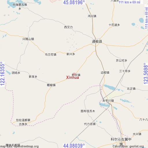
Xinhua GPS coordinates[2]
44° 34' 59.988" North, 122° 52' 0.012" East
| Map corner | latitude | longitude |
|---|---|---|
| Upper-left | 45.08196°, | 122.16355° |
| Center: | 44.58333°, | 122.86667° |
| Lower-right: | 44.08039°, | 123.5698° |
| Map W x H: | 111.4×111.4 km | = 69.2×69.2mi |
| max Lat: | 53.31946° ⇑6.5% North |
| Xinhua: | 44.58333° |
| min Lat: | ⇓93.5% South 18.22056° |
| min Long | Xinhua | max Long |
| 75.07348° | 122.86667° | 134.28917° |
| W 92.6%⇐ | ⇒7.4% E |
Elevation
Elevation of Xinhua is 157 m = 515 ft, and this is 327.8 m = 1075 ft below average elevation for this country.
| Max E: |
5622 m = 18445 ft | 50.9% |
| Avg. | 484.8 m = 1591 ft | |
| Xinhua | 157 m = 515 ft | |
Min E: |
-3 m = -10 ft | 49.1% |
See also: China elevation on elevation.city.
Geographical zone
Xinhua is located in North temperate zone (between Tropic of Cancer and the Arctic Circle). Distance of this Northern Tropic circle is 2351.3 km =1461 mi to South.| Distance of | km | miles | from Xinhua |
|---|---|---|---|
| North Pole | 5049.9 | 3137.9 | to North |
| Arctic Circle | 2444 | 1518.6 | to North |
| Tropic Cancer | 2351.3 | 1461 | to South |
| Equator | 4957.2 | 3080.3 | to South |


Nearby cities:
15 places around Xinhua: (largest is in red/bold)
• Anding
68.2 km =42.4 mi,  342°
342°
• Baokang
62.2 km =38.6 mi,  145°
145°
• Bor Ondor
51.1 km =31.8 mi,  226°
226°
• Changling
96.7 km =60.1 mi,  111°
111°
• Deshun
92.3 km =57.4 mi,  0°
0°
• Gaoliban
90.6 km =56.3 mi,  291°
291°
• Guangming
83.6 km =51.9 mi,  355°
355°
• Heishui
68.7 km =42.7 mi, 356°
• Jurh
104.4 km =64.9 mi,  245°
245°
• Kaitong
34 km =21.1 mi,  41°
41°
• Qian’an
104.5 km =64.9 mi,  64°
64°
• Shuanggang
58.3 km =36.2 mi, 4°
• Xi Ail
35.6 km =22.1 mi,  351°
351°
• Xianghai
64.5 km =40.1 mi,  320°
320°
• Xinfa
33 km =20.5 mi,  270°
270°
Sources, notices
• [Note1] Compared only with cities in China existing in our database
• [Src1] Map data: © OpenStreetMap contributors (CC-BY-SA)
• [Src2] Other city data from geonames.org with taken over terms of usage.
• [Src3] Geographical zone / Annual Mean Temperature by Robert A. Rohde @ Wikipedia
