Moguqi geodata
Moguqi (Inner Mongolia) is a seat of a fourth-order administrative division; located in China in Asia/Shanghai (GMT+8) time zone. In our database, there are 1268 cities with bigger population. Compared to other cities in China, 97.9% of cities are located further ↓South; 91.9% of cities are located further ←West and 64.9% of cities have lower elevation than Moguqi. Note1


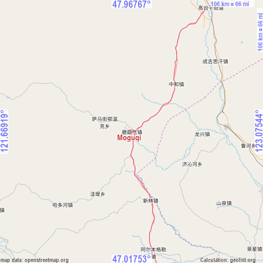
Moguqi GPS coordinates[2]
47° 29' 41.1" North, 122° 22' 20.316" East
| Map corner | latitude | longitude |
|---|---|---|
| Upper-left | 47.96767°, | 121.66919° |
| Center: | 47.49475°, | 122.37231° |
| Lower-right: | 47.01753°, | 123.07544° |
| Map W x H: | 105.6×105.6 km | = 65.6×65.6mi |
| max Lat: | 53.31946° ⇑2.1% North |
| Moguqi: | 47.49475° |
| min Lat: | ⇓97.9% South 18.22056° |
| min Long | Moguqi | max Long |
| 75.07348° | 122.37231° | 134.28917° |
| W 91.9%⇐ | ⇒8.1% E |
Elevation
Elevation of Moguqi is 323 m = 1060 ft, and this is 161.8 m = 531 ft below average elevation for this country.
| Max E: |
5622 m = 18445 ft | 35.1% |
| Avg. | 484.8 m = 1591 ft | |
| Moguqi | 323 m = 1060 ft | |
Min E: |
-3 m = -10 ft | 64.9% |
See also: China elevation on elevation.city.
Geographical zone
Moguqi is located in North temperate zone (between Tropic of Cancer and the Arctic Circle). Distance of this North polar circle is 2120.3 km =1317.5 mi to North.| Distance of | km | miles | from Moguqi |
|---|---|---|---|
| North Pole | 4726.1 | 2936.7 | to North |
| Arctic Circle | 2120.3 | 1317.5 | to North |
| Tropic Cancer | 2675 | 1662.2 | to South |
| Equator | 5280.9 | 3281.4 | to South |


Nearby cities:
15 places around Moguqi: (largest is in red/bold)
• Duibao
56.9 km =35.4 mi,  114°
114°
• Guanmenshan
12.1 km =7.5 mi,  194°
194°
• Haduohe
40.5 km =25.2 mi,  223°
223°
• Heshan
58.3 km =36.2 mi, 106°
• Longjiang
63.3 km =39.3 mi, 106°
• Nianzishan
38.5 km =23.9 mi,  86°
86°
• Qinggis Han
44.7 km =27.8 mi,  50°
50°
• Samajie Ewenkeminzu
11.7 km =7.3 mi,  289°
289°
• Wadi
28.3 km =17.6 mi,  209°
209°
• Xinghua
62.7 km =39 mi,  22°
22°
• Xinlin
27.1 km =16.8 mi,  169°
169°
• Ya’ergenchu
33.1 km =20.6 mi,  32°
32°
• Yongfa
63.1 km =39.2 mi,  126°
126°
• Zhalantun
63.4 km =39.4 mi, 25°
• Zhonghe
26.1 km =16.2 mi,  42°
42°
Sources, notices
• [Note1] Compared only with cities in China existing in our database
• [Src1] Map data: © OpenStreetMap contributors (CC-BY-SA)
• [Src2] Other city data from geonames.org with taken over terms of usage.
• [Src3] Geographical zone / Annual Mean Temperature by Robert A. Rohde @ Wikipedia
