Haquxiang geodata
Haquxiang (Qinghai) is a seat of a fourth-order administrative division; located in China in Asia/Shanghai (GMT+8) time zone. In our database, there are 1268 cities with bigger population. Compared to other cities in China, 78.1% of cities are located further ↓South; 96.1% of cities are located further →East and 96.5% of cities have lower elevation than Haquxiang. Note1


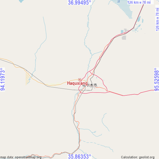
Haquxiang GPS coordinates[2]
36° 25' 52.68" North, 94° 49' 22.26" East
| Map corner | latitude | longitude |
|---|---|---|
| Upper-left | 36.99495°, | 94.11973° |
| Center: | 36.4313°, | 94.82285° |
| Lower-right: | 35.86353°, | 95.52598° |
| Map W x H: | 125.8×125.8 km | = 78.2×78.2mi |
| max Lat: | 53.31946° ⇑21.9% North |
| Haquxiang: | 36.4313° |
| min Lat: | ⇓78.1% South 18.22056° |
| min Long | Haquxiang | max Long |
| 75.07348° | 94.82285° | 134.28917° |
| W 3.9%⇐ | ⇒96.1% E |
Elevation
Elevation of Haquxiang is 2810 m = 9219 ft, and this is 2325.2 m = 7629 ft above average elevation for this country.
| Max E: |
5622 m = 18445 ft | 3.5% |
| Haquxiang | 2810 m 9219 ft | |
| Avg. | 484.8 m = 1591 ft | |
Min E: |
-3 m = -10 ft | 96.5% |
See also: China elevation on elevation.city.
Geographical zone
Haquxiang is located in North temperate zone (between Tropic of Cancer and the Arctic Circle). Distance of this Northern Tropic circle is 1444.9 km =897.8 mi to South.| Distance of | km | miles | from Haquxiang |
|---|---|---|---|
| North Pole | 5956.3 | 3701.1 | to North |
| Arctic Circle | 3350.4 | 2081.8 | to North |
| Tropic Cancer | 1444.9 | 897.8 | to South |
| Equator | 4050.8 | 2517 | to South |


Nearby cities:
15 places around Haquxiang: (largest is in red/bold)
• Barun
239.3 km =148.7 mi,  103°
103°
• Da Qaidam
161.5 km =100.4 mi,  15°
15°
• Dagur
81.5 km =50.6 mi,  91°
91°
• Golmud
7.5 km =4.7 mi,  111°
111°
• Guolemude
2.1 km =1.3 mi,  198°
198°
• Hoit Taria
199.6 km =124 mi,  59°
59°
• Keluke
228.2 km =141.8 mi, 64°
• Madoi
209.7 km =130.3 mi,  138°
138°
• Nomhon
142 km =88.2 mi, 92°
• Qigzhi
220.5 km =137 mi,  159°
159°
• Wutumeiren
157.4 km =97.8 mi,  289°
289°
• Xitieshan
114.3 km =71 mi,  32°
32°
• Yege
211.7 km =131.5 mi,  167°
167°
• Zhiqu
244 km =151.6 mi, 165°
• Zongjia
191.5 km =119 mi, 95°
Sources, notices
• [Note1] Compared only with cities in China existing in our database
• [Src1] Map data: © OpenStreetMap contributors (CC-BY-SA)
• [Src2] Other city data from geonames.org with taken over terms of usage.
• [Src3] Geographical zone / Annual Mean Temperature by Robert A. Rohde @ Wikipedia
