Zhiqu geodata
Zhiqu (Qinghai) is a seat of a fourth-order administrative division; located in China in Asia/Shanghai (GMT+8) time zone. In our database, there are 1268 cities with bigger population. Compared to other cities in China, 71.6% of cities are located further ↓South; 96% of cities are located further →East and 99% of cities have lower elevation than Zhiqu. Note1


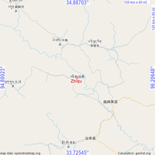
Zhiqu GPS coordinates[2]
34° 18' 29.7" North, 95° 30' 12.06" East
| Map corner | latitude | longitude |
|---|---|---|
| Upper-left | 34.88703°, | 94.80023° |
| Center: | 34.30825°, | 95.50335° |
| Lower-right: | 33.72545°, | 96.20648° |
| Map W x H: | 129.2×129.2 km | = 80.3×80.3mi |
| max Lat: | 53.31946° ⇑28.4% North |
| Zhiqu: | 34.30825° |
| min Lat: | ⇓71.6% South 18.22056° |
| min Long | Zhiqu | max Long |
| 75.07348° | 95.50335° | 134.28917° |
| W 4%⇐ | ⇒96% E |
Elevation
Elevation of Zhiqu is 4180 m = 13714 ft, and this is 3695.2 m = 12123 ft above average elevation for this country.
| Max E: |
5622 m = 18445 ft | 1% |
| Zhiqu | 4180 m 13714 ft | |
| Avg. | 484.8 m = 1591 ft | |
Min E: |
-3 m = -10 ft | 99% |
See also: China elevation on elevation.city.
Geographical zone
Zhiqu is located in North temperate zone (between Tropic of Cancer and the Arctic Circle). Distance of this Northern Tropic circle is 1208.8 km =751.1 mi to South.| Distance of | km | miles | from Zhiqu |
|---|---|---|---|
| North Pole | 6192.3 | 3847.7 | to North |
| Arctic Circle | 3586.5 | 2228.5 | to North |
| Tropic Cancer | 1208.8 | 751.1 | to South |
| Equator | 3814.7 | 2370.3 | to South |


Nearby cities:
15 places around Zhiqu: (largest is in red/bold)
• Aduo
157.8 km =98.1 mi,  195°
195°
• Anchong
140.2 km =87.1 mi,  131°
131°
• Bagan
104.2 km =64.7 mi,  115°
115°
• Dongfeng
70.8 km =44 mi,  110°
110°
• Duocai
55.9 km =34.7 mi,  187°
187°
• Gaduo
130.6 km =81.2 mi, 122°
• Gyairong
143.3 km =89 mi,  143°
143°
• Linxin
93.9 km =58.3 mi,  146°
146°
• Madoi
112.5 km =69.9 mi,  44°
44°
• Namsai
169.6 km =105.4 mi,  176°
176°
• Qigzhi
32.2 km =20 mi,  26°
26°
• Qingshuihe
160.5 km =99.7 mi, 110°
• Yege
33.1 km =20.6 mi,  333°
333°
• Zadoi
128.9 km =80.1 mi, 117°
• Zaqing
141.3 km =87.8 mi, 192°
Sources, notices
• [Note1] Compared only with cities in China existing in our database
• [Src1] Map data: © OpenStreetMap contributors (CC-BY-SA)
• [Src2] Other city data from geonames.org with taken over terms of usage.
• [Src3] Geographical zone / Annual Mean Temperature by Robert A. Rohde @ Wikipedia
