Yege geodata
Yege (Qinghai) is a seat of a fourth-order administrative division; located in China in Asia/Shanghai (GMT+8) time zone. In our database, there are 1268 cities with bigger population. Compared to other cities in China, 73.2% of cities are located further ↓South; 96% of cities are located further →East and 99.1% of cities have lower elevation than Yege. Note1


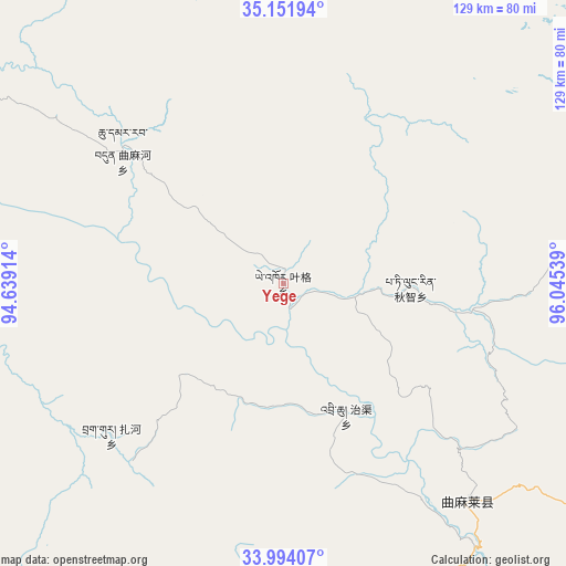
Yege GPS coordinates[2]
34° 34' 30.072" North, 95° 20' 32.136" East
| Map corner | latitude | longitude |
|---|---|---|
| Upper-left | 35.15194°, | 94.63914° |
| Center: | 34.57502°, | 95.34226° |
| Lower-right: | 33.99407°, | 96.04539° |
| Map W x H: | 128.7×128.7 km | = 80×80mi |
| max Lat: | 53.31946° ⇑26.8% North |
| Yege: | 34.57502° |
| min Lat: | ⇓73.2% South 18.22056° |
| min Long | Yege | max Long |
| 75.07348° | 95.34226° | 134.28917° |
| W 4%⇐ | ⇒96% E |
Elevation
Elevation of Yege is 4240 m = 13911 ft, and this is 3755.2 m = 12320 ft above average elevation for this country.
| Max E: |
5622 m = 18445 ft | 0.90000000000001% |
| Yege | 4240 m 13911 ft | |
| Avg. | 484.8 m = 1591 ft | |
Min E: |
-3 m = -10 ft | 99.1% |
See also: China elevation on elevation.city.
Geographical zone
Yege is located in North temperate zone (between Tropic of Cancer and the Arctic Circle). Distance of this Northern Tropic circle is 1238.5 km =769.6 mi to South.| Distance of | km | miles | from Yege |
|---|---|---|---|
| North Pole | 6162.7 | 3829.3 | to North |
| Arctic Circle | 3556.8 | 2210.1 | to North |
| Tropic Cancer | 1238.5 | 769.6 | to South |
| Equator | 3844.4 | 2388.8 | to South |


Nearby cities:
15 places around Yege: (largest is in red/bold)
• Aduo
183.8 km =114.2 mi,  188°
188°
• Anchong
171.4 km =106.5 mi,  136°
136°
• Bagan
132 km =82 mi,  124°
124°
• Dongfeng
97.5 km =60.6 mi, 123°
• Duocai
85.3 km =53 mi,  175°
175°
• Gaduo
159.9 km =99.4 mi,  128°
128°
• Gyairong
176 km =109.4 mi,  145°
145°
• Linxin
126.9 km =78.9 mi, 148°
• Madoi
106.5 km =66.2 mi,  61°
61°
• Namsai
200.6 km =124.6 mi,  172°
172°
• Qigzhi
28.9 km =18 mi,  91°
91°
• Qingshuihe
185.9 km =115.5 mi, 117°
• Zadoi
156.8 km =97.4 mi, 124°
• Zaqing
168.3 km =104.6 mi, 185°
• Zhiqu
33.1 km =20.6 mi, 153°
Sources, notices
• [Note1] Compared only with cities in China existing in our database
• [Src1] Map data: © OpenStreetMap contributors (CC-BY-SA)
• [Src2] Other city data from geonames.org with taken over terms of usage.
• [Src3] Geographical zone / Annual Mean Temperature by Robert A. Rohde @ Wikipedia
