Xiadahe geodata
Xiadahe (Liaoning) is a seat of a fourth-order administrative division; located in China in Asia/Shanghai (GMT+8) time zone. In our database, there are 1268 cities with bigger population. Compared to other cities in China, 89.2% of cities are located further ↓South; 93% of cities are located further ←West and 56.9% of cities have higher elevation than Xiadahe. Note1


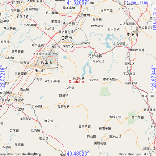
Xiadahe GPS coordinates[2]
40° 59' 52.944" North, 123° 16' 31.116" East
| Map corner | latitude | longitude |
|---|---|---|
| Upper-left | 41.52657°, | 122.57219° |
| Center: | 40.99804°, | 123.27531° |
| Lower-right: | 40.46523°, | 123.97844° |
| Map W x H: | 118×118 km | = 73.3×73.3mi |
| max Lat: | 53.31946° ⇑10.8% North |
| Xiadahe: | 40.99804° |
| min Lat: | ⇓89.2% South 18.22056° |
| min Long | Xiadahe | max Long |
| 75.07348° | 123.27531° | 134.28917° |
| W 93%⇐ | ⇒7% E |
Elevation
Elevation of Xiadahe is 118 m = 387 ft, and this is 366.8 m = 1203 ft below average elevation for this country.
| Max E: |
5622 m = 18445 ft | 56.9% |
| Avg. | 484.8 m = 1591 ft | |
| Xiadahe | 118 m = 387 ft | |
Min E: |
-3 m = -10 ft | 43.1% |
See also: China elevation on elevation.city.
Geographical zone
Xiadahe is located in North temperate zone (between Tropic of Cancer and the Arctic Circle). Distance of this Northern Tropic circle is 1952.6 km =1213.3 mi to South.| Distance of | km | miles | from Xiadahe |
|---|---|---|---|
| North Pole | 5448.5 | 3385.5 | to North |
| Arctic Circle | 2842.6 | 1766.3 | to North |
| Tropic Cancer | 1952.6 | 1213.3 | to South |
| Equator | 4558.6 | 2832.6 | to South |


Nearby cities:
15 places around Xiadahe: (largest is in red/bold)
• Anshan
27.7 km =17.2 mi,  300°
300°
• Bahui
9.7 km =6 mi,  220°
220°
• Datun
30.4 km =18.9 mi,  269°
269°
• Fu’an
38.3 km =23.8 mi,  282°
282°
• Ganquan
35.5 km =22.1 mi,  263°
263°
• Gongchangling
19.7 km =12.2 mi,  47°
47°
• Jiewen
39.2 km =24.4 mi, 215°
• Jiupu
28.3 km =17.6 mi,  285°
285°
• Liaoyang
31.6 km =19.6 mi,  344°
344°
• Mafeng
37.2 km =23.1 mi,  235°
235°
• Muniu
38 km =23.6 mi,  186°
186°
• Nantai
40.4 km =25.1 mi, 258°
• Qingchengzi
40.7 km =25.3 mi,  137°
137°
• Sanjiazi
37 km =23 mi,  172°
172°
• Shangmatun
9.6 km =6 mi,  129°
129°
Sources, notices
• [Note1] Compared only with cities in China existing in our database
• [Src1] Map data: © OpenStreetMap contributors (CC-BY-SA)
• [Src2] Other city data from geonames.org with taken over terms of usage.
• [Src3] Geographical zone / Annual Mean Temperature by Robert A. Rohde @ Wikipedia
