Quchomo geodata
Quchomo (Tibet) is a seat of a fourth-order administrative division; located in China in Asia/Shanghai (GMT+8) time zone. In our database, there are 1268 cities with bigger population. Compared to other cities in China, 71.9% of cities are located further ↑North; 96.8% of cities are located further →East and 99.2% of cities have lower elevation than Quchomo. Note1


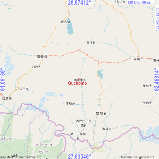
Quchomo GPS coordinates[2]
28° 15' 23.724" North, 91° 45' 54.036" East
| Map corner | latitude | longitude |
|---|---|---|
| Upper-left | 28.87412°, | 91.06189° |
| Center: | 28.25659°, | 91.76501° |
| Lower-right: | 27.63546°, | 92.46814° |
| Map W x H: | 137.7×137.7 km | = 85.6×85.6mi |
| max Lat: | 53.31946° ⇑71.9% North |
| Quchomo: | 28.25659° |
| min Lat: | ⇓28.1% South 18.22056° |
| min Long | Quchomo | max Long |
| 75.07348° | 91.76501° | 134.28917° |
| W 3.2%⇐ | ⇒96.8% E |
Elevation
Elevation of Quchomo is 4261 m = 13980 ft, and this is 3776.2 m = 12389 ft above average elevation for this country.
| Max E: |
5622 m = 18445 ft | 0.8% |
| Quchomo | 4261 m 13980 ft | |
| Avg. | 484.8 m = 1591 ft | |
Min E: |
-3 m = -10 ft | 99.2% |
See also: China elevation on elevation.city.
Geographical zone
Quchomo is located in North temperate zone (between Tropic of Cancer and the Arctic Circle). Distance of this Northern Tropic circle is 535.9 km =333 mi to South.| Distance of | km | miles | from Quchomo |
|---|---|---|---|
| North Pole | 6865.2 | 4265.8 | to North |
| Arctic Circle | 4259.3 | 2646.6 | to North |
| Tropic Cancer | 535.9 | 333 | to South |
| Equator | 3141.8 | 1952.2 | to South |


Nearby cities:
15 places around Quchomo: (largest is in red/bold)
• Bianba
48.8 km =30.3 mi,  261°
261°
• Changzhug
104.2 km =64.7 mi,  0°
0°
• Chaqi
116.2 km =72.2 mi,  342°
342°
• Dengmu
125.9 km =78.2 mi,  56°
56°
• Dopozhang
118.1 km =73.4 mi,  356°
356°
• Douyu
120.6 km =74.9 mi,  82°
82°
• Gongbuxue
98.8 km =61.4 mi,  311°
311°
• Layu
99.6 km =61.9 mi,  354°
354°
• Naidong
109.7 km =68.2 mi, 0°
• Ngarrab
127.4 km =79.2 mi,  39°
39°
• Norbusa
115.1 km =71.5 mi,  21°
21°
• Pozhang
95.6 km =59.4 mi, 4°
• Rinang
117.3 km =72.9 mi, 44°
• Sozhug
130.2 km =80.9 mi, 4°
• Xoixar
41.6 km =25.8 mi,  161°
161°
Sources, notices
• [Note1] Compared only with cities in China existing in our database
• [Src1] Map data: © OpenStreetMap contributors (CC-BY-SA)
• [Src2] Other city data from geonames.org with taken over terms of usage.
• [Src3] Geographical zone / Annual Mean Temperature by Robert A. Rohde @ Wikipedia
