Zuokou geodata
Zuokou (Zhejiang) is a seat of a fourth-order administrative division; located in China in Asia/Shanghai (GMT+8) time zone. In our database, there are 1268 cities with bigger population. Compared to other cities in China, 57.1% of cities are located further ↑North; 76.3% of cities are located further ←West and 54.6% of cities have higher elevation than Zuokou. Note1


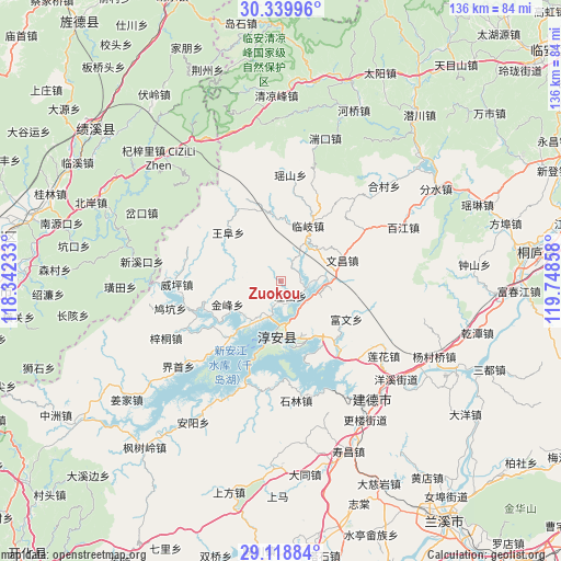
Zuokou GPS coordinates[2]
29° 43' 52.536" North, 119° 2' 43.62" East
| Map corner | latitude | longitude |
|---|---|---|
| Upper-left | 30.33996°, | 118.34233° |
| Center: | 29.73126°, | 119.04545° |
| Lower-right: | 29.11884°, | 119.74858° |
| Map W x H: | 135.8×135.8 km | = 84.4×84.4mi |
| max Lat: | 53.31946° ⇑57.1% North |
| Zuokou: | 29.73126° |
| min Lat: | ⇓42.9% South 18.22056° |
| min Long | Zuokou | max Long |
| 75.07348° | 119.04545° | 134.28917° |
| W 76.3%⇐ | ⇒23.7% E |
Elevation
Elevation of Zuokou is 134 m = 440 ft, and this is 350.8 m = 1151 ft below average elevation for this country.
| Max E: |
5622 m = 18445 ft | 54.6% |
| Avg. | 484.8 m = 1591 ft | |
| Zuokou | 134 m = 440 ft | |
Min E: |
-3 m = -10 ft | 45.4% |
See also: China elevation on elevation.city.
Geographical zone
Zuokou is located in North temperate zone (between Tropic of Cancer and the Arctic Circle). Distance of this Northern Tropic circle is 699.9 km =434.9 mi to South.| Distance of | km | miles | from Zuokou |
|---|---|---|---|
| North Pole | 6701.3 | 4164 | to North |
| Arctic Circle | 4095.4 | 2544.8 | to North |
| Tropic Cancer | 699.9 | 434.9 | to South |
| Equator | 3305.8 | 2054.1 | to South |


Nearby cities:
15 places around Zuokou: (largest is in red/bold)
• Dashe
23.7 km =14.7 mi,  325°
325°
• Donghui
26.1 km =16.2 mi,  59°
59°
• Jiukeng
29.7 km =18.5 mi,  258°
258°
• Lingyuan
30 km =18.6 mi,  47°
47°
• Linqi
15.1 km =9.4 mi,  26°
26°
• Liyang
28.1 km =17.5 mi,  190°
190°
• Songcun
13.9 km =8.6 mi,  267°
267°
• Tangban
13.7 km =8.5 mi,  247°
247°
• Tangcun
20.7 km =12.9 mi,  293°
293°
• Tongziwu
27.5 km =17.1 mi,  224°
224°
• Wangfu
17.8 km =11.1 mi,  313°
313°
• Wangzhai
4.9 km =3 mi, 220°
• Weiping
25.2 km =15.7 mi, 268°
• Wenchang
16.1 km =10 mi,  69°
69°
• Yaoshan
26 km =16.2 mi,  4°
4°
Sources, notices
• [Note1] Compared only with cities in China existing in our database
• [Src1] Map data: © OpenStreetMap contributors (CC-BY-SA)
• [Src2] Other city data from geonames.org with taken over terms of usage.
• [Src3] Geographical zone / Annual Mean Temperature by Robert A. Rohde @ Wikipedia
