Chaoyang geodata
Chaoyang (Heilongjiang) is a seat of a third-order administrative division; located in China in Asia/Shanghai (GMT+8) time zone. In our database, there are 1268 cities with bigger population. Compared to other cities in China, 99.1% of cities are located further ↓South; 99.5% of cities are located further ←West and 62.4% of cities have higher elevation than Chaoyang. Note1


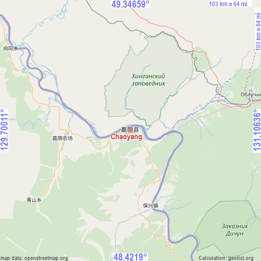
Chaoyang GPS coordinates[2]
48° 53' 10.968" North, 130° 24' 11.628" East
| Map corner | latitude | longitude |
|---|---|---|
| Upper-left | 49.34659°, | 129.70011° |
| Center: | 48.88638°, | 130.40323° |
| Lower-right: | 48.4219°, | 131.10636° |
| Map W x H: | 102.8×102.8 km | = 63.9×63.9mi |
| max Lat: | 53.31946° ⇑0.9% North |
| Chaoyang: | 48.88638° |
| min Lat: | ⇓99.1% South 18.22056° |
| min Long | Chaoyang | max Long |
| 75.07348° | 130.40323° | 134.28917° |
| W 99.5%⇐ | ⇒0.5% E |
Elevation
Elevation of Chaoyang is 85 m = 279 ft, and this is 399.8 m = 1312 ft below average elevation for this country.
| Max E: |
5622 m = 18445 ft | 62.4% |
| Avg. | 484.8 m = 1591 ft | |
| Chaoyang | 85 m = 279 ft | |
Min E: |
-3 m = -10 ft | 37.6% |
See also: China elevation on elevation.city.
Geographical zone
Chaoyang is located in North temperate zone (between Tropic of Cancer and the Arctic Circle). Distance of this North polar circle is 1965.5 km =1221.3 mi to North.| Distance of | km | miles | from Chaoyang |
|---|---|---|---|
| North Pole | 4571.4 | 2840.5 | to North |
| Arctic Circle | 1965.5 | 1221.3 | to North |
| Tropic Cancer | 2829.7 | 1758.3 | to South |
| Equator | 5435.7 | 3377.6 | to South |


Nearby cities:
15 places around Chaoyang: (largest is in red/bold)
• Baoshan
109.8 km =68.2 mi,  281°
281°
• Baoxing
31.1 km =19.3 mi,  164°
164°
• Changsheng
86.9 km =54 mi,  311°
311°
• Chelu
132.8 km =82.5 mi,  297°
297°
• Hongguang
11.8 km =7.3 mi,  137°
137°
• Huanshan
130.5 km =81.1 mi,  172°
172°
• Hujia
73.1 km =45.4 mi,  288°
288°
• Kelin
108.7 km =67.5 mi,  259°
259°
• Qingshan
46.1 km =28.6 mi,  233°
233°
• Taipinggou
86.3 km =53.6 mi, 168°
• Wulaga
57.6 km =35.8 mi,  199°
199°
• Wuyun
70.7 km =43.9 mi, 308°
• Xiangyang
57.4 km =35.7 mi, 304°
• Xinqing
92.9 km =57.7 mi,  224°
224°
• Xinxing
115.2 km =71.6 mi, 297°
Sources, notices
• [Note1] Compared only with cities in China existing in our database
• [Src1] Map data: © OpenStreetMap contributors (CC-BY-SA)
• [Src2] Other city data from geonames.org with taken over terms of usage.
• [Src3] Geographical zone / Annual Mean Temperature by Robert A. Rohde @ Wikipedia
