Bengshutang geodata
Bengshutang (Yunnan) is a seat of a fourth-order administrative division; located in China in Asia/Shanghai (GMT+8) time zone. In our database, there are 1268 cities with bigger population. Compared to other cities in China, 73.8% of cities are located further ↑North; 94.9% of cities are located further →East and 96.7% of cities have lower elevation than Bengshutang. Note1


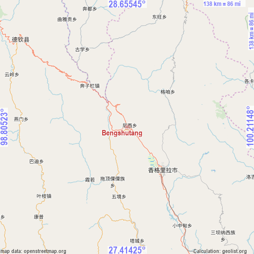
Bengshutang GPS coordinates[2]
28° 2' 11.904" North, 99° 30' 30.06" East
| Map corner | latitude | longitude |
|---|---|---|
| Upper-left | 28.65545°, | 98.80523° |
| Center: | 28.03664°, | 99.50835° |
| Lower-right: | 27.41425°, | 100.21148° |
| Map W x H: | 138×138 km | = 85.7×85.7mi |
| max Lat: | 53.31946° ⇑73.8% North |
| Bengshutang: | 28.03664° |
| min Lat: | ⇓26.2% South 18.22056° |
| min Long | Bengshutang | max Long |
| 75.07348° | 99.50835° | 134.28917° |
| W 5.1%⇐ | ⇒94.9% E |
Elevation
Elevation of Bengshutang is 2939 m = 9642 ft, and this is 2454.2 m = 8052 ft above average elevation for this country.
| Max E: |
5622 m = 18445 ft | 3.3% |
| Bengshutang | 2939 m 9642 ft | |
| Avg. | 484.8 m = 1591 ft | |
Min E: |
-3 m = -10 ft | 96.7% |
See also: China elevation on elevation.city.
Geographical zone
Bengshutang is located in North temperate zone (between Tropic of Cancer and the Arctic Circle). Distance of this Northern Tropic circle is 511.5 km =317.8 mi to South.| Distance of | km | miles | from Bengshutang |
|---|---|---|---|
| North Pole | 6889.7 | 4281.1 | to North |
| Arctic Circle | 4283.8 | 2661.8 | to North |
| Tropic Cancer | 511.5 | 317.8 | to South |
| Equator | 3117.4 | 1937.1 | to South |


Nearby cities:
15 places around Bengshutang: (largest is in red/bold)
• Badi
44.6 km =27.7 mi,  247°
247°
• Baiyu
62.1 km =38.6 mi,  14°
14°
• Benzilan
26.1 km =16.2 mi,  328°
328°
• Dongwang
62.7 km =39 mi,  21°
21°
• Gezan
34.9 km =21.7 mi,  57°
57°
• Jiantang
35 km =21.7 mi,  132°
132°
• Kangpu
63.3 km =39.3 mi,  219°
219°
• Lazanzhong
30.1 km =18.7 mi,  46°
46°
• Shangri-La
30.6 km =19 mi,  140°
140°
• Tuoding
31.1 km =19.3 mi,  186°
186°
• Wujing
37.3 km =23.2 mi,  175°
175°
• Xiaruo
29.3 km =18.2 mi,  210°
210°
• Yanmen
47.8 km =29.7 mi,  274°
274°
• Yezhi
52.8 km =32.8 mi,  225°
225°
• Yunling
59.8 km =37.2 mi,  298°
298°
Sources, notices
• [Note1] Compared only with cities in China existing in our database
• [Src1] Map data: © OpenStreetMap contributors (CC-BY-SA)
• [Src2] Other city data from geonames.org with taken over terms of usage.
• [Src3] Geographical zone / Annual Mean Temperature by Robert A. Rohde @ Wikipedia
