Dongwang geodata
Dongwang (Yunnan) is a seat of a fourth-order administrative division; located in China in Asia/Shanghai (GMT+8) time zone. In our database, there are 1268 cities with bigger population. Compared to other cities in China, 69.2% of cities are located further ↑North; 94.7% of cities are located further →East and 97.3% of cities have lower elevation than Dongwang. Note1


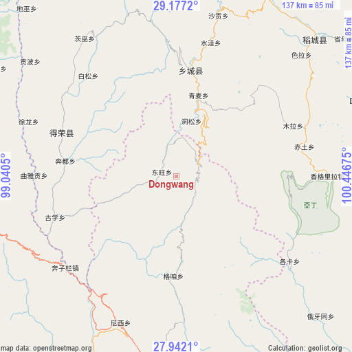
Dongwang GPS coordinates[2]
28° 33' 41.256" North, 99° 44' 37.032" East
| Map corner | latitude | longitude |
|---|---|---|
| Upper-left | 29.1772°, | 99.0405° |
| Center: | 28.56146°, | 99.74362° |
| Lower-right: | 27.9421°, | 100.44675° |
| Map W x H: | 137.3×137.3 km | = 85.3×85.3mi |
| max Lat: | 53.31946° ⇑69.2% North |
| Dongwang: | 28.56146° |
| min Lat: | ⇓30.8% South 18.22056° |
| min Long | Dongwang | max Long |
| 75.07348° | 99.74362° | 134.28917° |
| W 5.3%⇐ | ⇒94.7% E |
Elevation
Elevation of Dongwang is 3240 m = 10630 ft, and this is 2755.2 m = 9039 ft above average elevation for this country.
| Max E: |
5622 m = 18445 ft | 2.7% |
| Dongwang | 3240 m 10630 ft | |
| Avg. | 484.8 m = 1591 ft | |
Min E: |
-3 m = -10 ft | 97.3% |
See also: China elevation on elevation.city.
Geographical zone
Dongwang is located in North temperate zone (between Tropic of Cancer and the Arctic Circle). Distance of this Northern Tropic circle is 569.8 km =354.1 mi to South.| Distance of | km | miles | from Dongwang |
|---|---|---|---|
| North Pole | 6831.3 | 4244.8 | to North |
| Arctic Circle | 4225.4 | 2625.5 | to North |
| Tropic Cancer | 569.8 | 354.1 | to South |
| Equator | 3175.7 | 1973.3 | to South |


Nearby cities:
15 places around Dongwang: (largest is in red/bold)
• Baiyu
7.2 km =4.5 mi,  283°
283°
• Bengshutang
62.7 km =39 mi,  201°
201°
• Benzilan
51.6 km =32.1 mi,  225°
225°
• Gezan
40.3 km =25 mi,  170°
170°
• Jiantang
82.2 km =51.1 mi,  178°
178°
• Lazanzhong
37.8 km =23.5 mi, 181°
• Sangpi
41.8 km =26 mi,  7°
7°
• Shangri-La
81.9 km =50.9 mi, 182°
• Shengping
81.7 km =50.8 mi,  264°
264°
• Songmai
47.8 km =29.7 mi,  290°
290°
• Tuoding
93.1 km =57.8 mi, 196°
• Xiaruo
91.8 km =57 mi, 204°
• Yangla
73.4 km =45.6 mi,  305°
305°
• Yanmen
89.1 km =55.4 mi, 232°
• Yunling
81.2 km =50.5 mi,  248°
248°
Sources, notices
• [Note1] Compared only with cities in China existing in our database
• [Src1] Map data: © OpenStreetMap contributors (CC-BY-SA)
• [Src2] Other city data from geonames.org with taken over terms of usage.
• [Src3] Geographical zone / Annual Mean Temperature by Robert A. Rohde @ Wikipedia
