Zhowagoin geodata
Zhowagoin (Tibet) is a seat of a third-order administrative division; located in China in Asia/Shanghai (GMT+8) time zone. In our database, there are 1268 cities with bigger population. Compared to other cities in China, 68.4% of cities are located further ↑North; 95.5% of cities are located further →East and 96.2% of cities have lower elevation than Zhowagoin. Note1


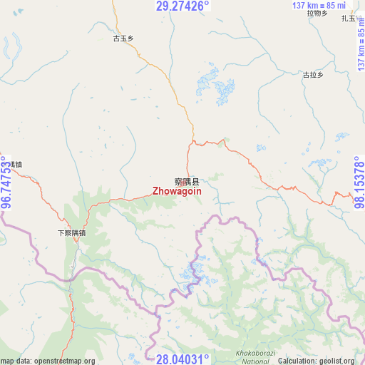
Zhowagoin GPS coordinates[2]
28° 39' 32.76" North, 97° 27' 2.34" East
| Map corner | latitude | longitude |
|---|---|---|
| Upper-left | 29.27426°, | 96.74753° |
| Center: | 28.6591°, | 97.45065° |
| Lower-right: | 28.04031°, | 98.15378° |
| Map W x H: | 137.2×137.2 km | = 85.3×85.3mi |
| max Lat: | 53.31946° ⇑68.4% North |
| Zhowagoin: | 28.6591° |
| min Lat: | ⇓31.6% South 18.22056° |
| min Long | Zhowagoin | max Long |
| 75.07348° | 97.45065° | 134.28917° |
| W 4.5%⇐ | ⇒95.5% E |
Elevation
Elevation of Zhowagoin is 2654 m = 8707 ft, and this is 2169.2 m = 7117 ft above average elevation for this country.
| Max E: |
5622 m = 18445 ft | 3.8% |
| Zhowagoin | 2654 m 8707 ft | |
| Avg. | 484.8 m = 1591 ft | |
Min E: |
-3 m = -10 ft | 96.2% |
See also: China elevation on elevation.city.
Geographical zone
Zhowagoin is located in North temperate zone (between Tropic of Cancer and the Arctic Circle). Distance of this Northern Tropic circle is 580.7 km =360.8 mi to South.| Distance of | km | miles | from Zhowagoin |
|---|---|---|---|
| North Pole | 6820.5 | 4238.1 | to North |
| Arctic Circle | 4214.6 | 2618.8 | to North |
| Tropic Cancer | 580.7 | 360.8 | to South |
| Equator | 3186.6 | 1980.1 | to South |


Nearby cities:
15 places around Zhowagoin: (largest is in red/bold)
• Badi
182.5 km =113.4 mi,  118°
118°
• Baima
163.8 km =101.8 mi,  341°
341°
• Benzilan
193.3 km =120.1 mi,  104°
104°
• Cikai
158.6 km =98.5 mi,  128°
128°
• Foshan
132.5 km =82.3 mi,  86°
86°
• Gartog
159.2 km =98.9 mi,  44°
44°
• Gyigang
6.5 km =4 mi,  82°
82°
• Kangpu
200.5 km =124.6 mi, 126°
• Shengping
143.9 km =89.4 mi, 97°
• Songmai
179.2 km =111.3 mi, 88°
• Wangda
119 km =73.9 mi,  18°
18°
• Yangla
166.4 km =103.4 mi, 79°
• Yanmen
167.1 km =103.8 mi,  112°
112°
• Yezhi
195.7 km =121.6 mi, 122°
• Yunling
154.1 km =95.8 mi, 105°
Sources, notices
• [Note1] Compared only with cities in China existing in our database
• [Src1] Map data: © OpenStreetMap contributors (CC-BY-SA)
• [Src2] Other city data from geonames.org with taken over terms of usage.
• [Src3] Geographical zone / Annual Mean Temperature by Robert A. Rohde @ Wikipedia
