Baima geodata
Baima (Tibet) is a seat of a third-order administrative division; located in China in Asia/Shanghai (GMT+8) time zone. In our database, there are 1268 cities with bigger population. Compared to other cities in China, 53.4% of cities are located further ↑North; 95.7% of cities are located further →East and 97.3% of cities have lower elevation than Baima. Note1


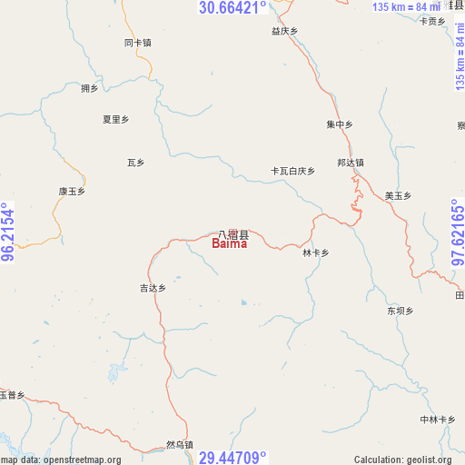
Baima GPS coordinates[2]
30° 3' 27.072" North, 96° 55' 6.672" East
| Map corner | latitude | longitude |
|---|---|---|
| Upper-left | 30.66421°, | 96.2154° |
| Center: | 30.05752°, | 96.91852° |
| Lower-right: | 29.44709°, | 97.62165° |
| Map W x H: | 135.3×135.3 km | = 84.1×84.1mi |
| max Lat: | 53.31946° ⇑53.4% North |
| Baima: | 30.05752° |
| min Lat: | ⇓46.6% South 18.22056° |
| min Long | Baima | max Long |
| 75.07348° | 96.91852° | 134.28917° |
| W 4.3%⇐ | ⇒95.7% E |
Elevation
Elevation of Baima is 3258 m = 10689 ft, and this is 2773.2 m = 9098 ft above average elevation for this country.
| Max E: |
5622 m = 18445 ft | 2.7% |
| Baima | 3258 m 10689 ft | |
| Avg. | 484.8 m = 1591 ft | |
Min E: |
-3 m = -10 ft | 97.3% |
See also: China elevation on elevation.city.
Geographical zone
Baima is located in North temperate zone (between Tropic of Cancer and the Arctic Circle). Distance of this Northern Tropic circle is 736.2 km =457.5 mi to South.| Distance of | km | miles | from Baima |
|---|---|---|---|
| North Pole | 6665 | 4141.4 | to North |
| Arctic Circle | 4059.1 | 2522.2 | to North |
| Tropic Cancer | 736.2 | 457.5 | to South |
| Equator | 3342.1 | 2076.7 | to South |


Nearby cities:
15 places around Baima: (largest is in red/bold)
• Gartog
166.9 km =103.7 mi,  104°
104°
• Gyigang
165.2 km =102.7 mi,  159°
159°
• Mawu
190.9 km =118.6 mi,  299°
299°
• Molo
157.5 km =97.9 mi,  55°
55°
• Moluo
140.4 km =87.2 mi,  53°
53°
• Motuo
176.3 km =109.5 mi,  241°
241°
• Qamdo
121.9 km =75.7 mi,  11°
11°
• Racaka
154.1 km =95.8 mi,  345°
345°
• Samdo
132.2 km =82.1 mi, 346°
• Wangda
98.3 km =61.1 mi,  115°
115°
• Xiexiong
195 km =121.2 mi,  320°
320°
• Yanduo
91.6 km =56.9 mi,  43°
43°
• Zhamog
113.7 km =70.6 mi,  259°
259°
• Zhowagoin
163.8 km =101.8 mi, 161°
• Zito
128.5 km =79.8 mi,  306°
306°
Sources, notices
• [Note1] Compared only with cities in China existing in our database
• [Src1] Map data: © OpenStreetMap contributors (CC-BY-SA)
• [Src2] Other city data from geonames.org with taken over terms of usage.
• [Src3] Geographical zone / Annual Mean Temperature by Robert A. Rohde @ Wikipedia
