Yeniugou geodata
Yeniugou (Qinghai) is a seat of a fourth-order administrative division; located in China in Asia/Shanghai (GMT+8) time zone. In our database, there are 1268 cities with bigger population. Compared to other cities in China, 81.7% of cities are located further ↓South; 94.9% of cities are located further →East and 98% of cities have lower elevation than Yeniugou. Note1


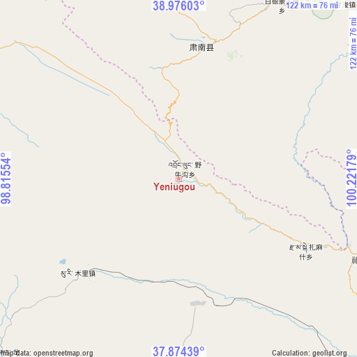
Yeniugou GPS coordinates[2]
38° 25' 38.316" North, 99° 31' 7.176" East
| Map corner | latitude | longitude |
|---|---|---|
| Upper-left | 38.97603°, | 98.81554° |
| Center: | 38.42731°, | 99.51866° |
| Lower-right: | 37.87439°, | 100.22179° |
| Map W x H: | 122.5×122.5 km | = 76.1×76.1mi |
| max Lat: | 53.31946° ⇑18.3% North |
| Yeniugou: | 38.42731° |
| min Lat: | ⇓81.7% South 18.22056° |
| min Long | Yeniugou | max Long |
| 75.07348° | 99.51866° | 134.28917° |
| W 5.1%⇐ | ⇒94.9% E |
Elevation
Elevation of Yeniugou is 3683 m = 12083 ft, and this is 3198.2 m = 10493 ft above average elevation for this country.
| Max E: |
5622 m = 18445 ft | 2% |
| Yeniugou | 3683 m 12083 ft | |
| Avg. | 484.8 m = 1591 ft | |
Min E: |
-3 m = -10 ft | 98% |
See also: China elevation on elevation.city.
Geographical zone
Yeniugou is located in North temperate zone (between Tropic of Cancer and the Arctic Circle). Distance of this Northern Tropic circle is 1666.8 km =1035.7 mi to South.| Distance of | km | miles | from Yeniugou |
|---|---|---|---|
| North Pole | 5734.3 | 3563.1 | to North |
| Arctic Circle | 3128.5 | 1944 | to North |
| Tropic Cancer | 1666.8 | 1035.7 | to South |
| Equator | 4272.7 | 2654.9 | to South |


Nearby cities:
15 places around Yeniugou: (largest is in red/bold)
• Baiyin
63.3 km =39.3 mi,  30°
30°
• Ganjun
82.3 km =51.1 mi,  43°
43°
• Hongwansi
45.9 km =28.5 mi,  8°
8°
• Hongyazi
83 km =51.6 mi,  346°
346°
• Huazhai
76.2 km =47.3 mi,  73°
73°
• Kekeli
18.7 km =11.6 mi,  254°
254°
• Longmen
80.3 km =49.9 mi,  220°
220°
• Longqu
80.8 km =50.2 mi,  56°
56°
• Muri
51.2 km =31.8 mi,  230°
230°
• Nangu
82.9 km =51.5 mi,  81°
81°
• Qilian
68.7 km =42.7 mi,  113°
113°
• Qinglong
52.8 km =32.8 mi,  16°
16°
• Xinba
81.8 km =50.8 mi, 353°
• Xishui
61.9 km =38.5 mi, 67°
• Zamashi
49.9 km =31 mi,  119°
119°
Sources, notices
• [Note1] Compared only with cities in China existing in our database
• [Src1] Map data: © OpenStreetMap contributors (CC-BY-SA)
• [Src2] Other city data from geonames.org with taken over terms of usage.
• [Src3] Geographical zone / Annual Mean Temperature by Robert A. Rohde @ Wikipedia
