Nieru geodata
Nieru (Tibet) is a seat of a fourth-order administrative division; located in China in Asia/Shanghai (GMT+8) time zone. In our database, there are 1268 cities with bigger population. Compared to other cities in China, 69.5% of cities are located further ↑North; 97.2% of cities are located further →East and 99.5% of cities have lower elevation than Nieru. Note1


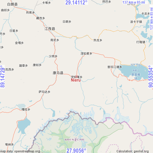
Nieru GPS coordinates[2]
28° 31' 30.612" North, 89° 51' 1.476" East
| Map corner | latitude | longitude |
|---|---|---|
| Upper-left | 29.14112°, | 89.14729° |
| Center: | 28.52517°, | 89.85041° |
| Lower-right: | 27.9056°, | 90.55354° |
| Map W x H: | 137.4×137.4 km | = 85.4×85.4mi |
| max Lat: | 53.31946° ⇑69.5% North |
| Nieru: | 28.52517° |
| min Lat: | ⇓30.5% South 18.22056° |
| min Long | Nieru | max Long |
| 75.07348° | 89.85041° | 134.28917° |
| W 2.8%⇐ | ⇒97.2% E |
Elevation
Elevation of Nieru is 4486 m = 14718 ft, and this is 4001.2 m = 13127 ft above average elevation for this country.
| Max E: |
5622 m = 18445 ft | 0.5% |
| Nieru | 4486 m 14718 ft | |
| Avg. | 484.8 m = 1591 ft | |
Min E: |
-3 m = -10 ft | 99.5% |
See also: China elevation on elevation.city.
Geographical zone
Nieru is located in North temperate zone (between Tropic of Cancer and the Arctic Circle). Distance of this Northern Tropic circle is 565.8 km =351.6 mi to South.| Distance of | km | miles | from Nieru |
|---|---|---|---|
| North Pole | 6835.4 | 4247.3 | to North |
| Arctic Circle | 4229.5 | 2628.1 | to North |
| Tropic Cancer | 565.8 | 351.6 | to South |
| Equator | 3171.7 | 1970.8 | to South |


Nearby cities:
15 places around Nieru: (largest is in red/bold)
• Cheren
40.4 km =25.1 mi,  338°
338°
• Jangra
49.9 km =31 mi,  327°
327°
• Jiangzi
50.3 km =31.3 mi, 330°
• Kamru
37 km =23 mi,  286°
286°
• Kangmar
17.1 km =10.6 mi,  282°
282°
• Kangzhuo
53.2 km =33.1 mi,  319°
319°
• Lungmar
38.1 km =23.7 mi,  13°
13°
• Nanni
38.5 km =23.9 mi, 329°
• Niandui
44.5 km =27.7 mi, 335°
• Nierumai
22.9 km =14.2 mi,  22°
22°
• Pumaqangtang
35.5 km =22.1 mi,  75°
75°
• Ralung
38.2 km =23.7 mi,  30°
30°
• Samada
31.8 km =19.8 mi,  244°
244°
• Xiongzhang
48.8 km =30.3 mi, 282°
• Zijin
53.7 km =33.4 mi, 324°
Sources, notices
• [Note1] Compared only with cities in China existing in our database
• [Src1] Map data: © OpenStreetMap contributors (CC-BY-SA)
• [Src2] Other city data from geonames.org with taken over terms of usage.
• [Src3] Geographical zone / Annual Mean Temperature by Robert A. Rohde @ Wikipedia
