Baijiantan geodata
Baijiantan (Xinjiang) is a populated place; located in China in Asia/Urumqi (GMT+6) time zone. With population of 93,697 people, there are 452 cities with bigger population in this country. Compared to other cities in China, 94.6% of cities are located further ↓South; 98.6% of cities are located further →East and 63.8% of cities have lower elevation than Baijiantan. Note1


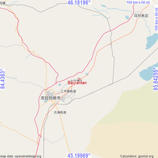
Baijiantan GPS coordinates[2]
45° 41' 34.728" North, 85° 8' 21.912" East
| Map corner | latitude | longitude |
|---|---|---|
| Upper-left | 46.18196°, | 84.4363° |
| Center: | 45.69298°, | 85.13942° |
| Lower-right: | 45.19969°, | 85.84255° |
| Map W x H: | 109.2×109.2 km | = 67.9×67.9mi |
| max Lat: | 53.31946° ⇑5.4% North |
| Baijiantan: | 45.69298° |
| min Lat: | ⇓94.6% South 18.22056° |
| min Long | Baijiantan | max Long |
| 75.07348° | 85.13942° | 134.28917° |
| W 1.4%⇐ | ⇒98.6% E |
Elevation
Elevation of Baijiantan is 308 m = 1010 ft, and this is 176.8 m = 580 ft below average elevation for this country.
| Max E: |
5622 m = 18445 ft | 36.2% |
| Avg. | 484.8 m = 1591 ft | |
| Baijiantan | 308 m = 1010 ft | |
Min E: |
-3 m = -10 ft | 63.8% |
See also: Baijiantan elevation on elevation.city.
Geographical zone
Baijiantan is located in North temperate zone (between Tropic of Cancer and the Arctic Circle). Distance of this North polar circle is 2320.6 km =1442 mi to North.| Distance of | km | miles | from Baijiantan |
|---|---|---|---|
| North Pole | 4926.5 | 3061.2 | to North |
| Arctic Circle | 2320.6 | 1442 | to North |
| Tropic Cancer | 2474.7 | 1537.7 | to South |
| Equator | 5080.6 | 3156.9 | to South |


Nearby cities:
15 places around Baijiantan: (largest is in red/bold)
• Baikouquan
36.1 km =22.4 mi,  46°
46°
• Dongpaizi
101.2 km =62.9 mi,  210°
210°
• Hoxtolgay
113.4 km =70.5 mi,  35°
35°
• Jinlong
17.2 km =10.7 mi,  221°
221°
• Karamay
23 km =14.3 mi,  238°
238°
• Lamazhao
87.7 km =54.5 mi,  315°
315°
• Miao’ergou
101.2 km =62.9 mi,  258°
258°
• Sanping
10.4 km =6.5 mi, 217°
• Shiqiao
101.3 km =62.9 mi, 220°
• Tiechanggou
76.1 km =47.3 mi,  313°
313°
• Toutai
114.6 km =71.2 mi,  200°
200°
• Urho
62.9 km =39.1 mi, 41°
• Wuxuete
101.3 km =62.9 mi,  295°
295°
• Xazgat
111.3 km =69.2 mi, 49°
• Xiaoguai
63.2 km =39.3 mi,  186°
186°
Sources, notices
• [Note1] Compared only with cities in China existing in our database
• [Src1] Map data: © OpenStreetMap contributors (CC-BY-SA)
• [Src2] Other city data from geonames.org with taken over terms of usage.
• [Src3] Geographical zone / Annual Mean Temperature by Robert A. Rohde @ Wikipedia
