Hoxtolgay geodata
Hoxtolgay (Xinjiang) is a seat of a fourth-order administrative division; located in China in Asia/Urumqi (GMT+6) time zone. With population of 22,000 people, there are 806 cities with bigger population in this country. Compared to other cities in China, 95.9% of cities are located further ↓South; 98.4% of cities are located further →East and 82.3% of cities have lower elevation than Hoxtolgay. Note1


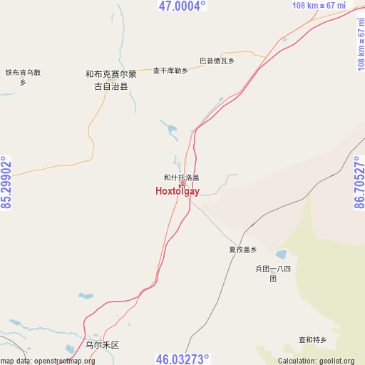
Hoxtolgay GPS coordinates[2]
46° 31' 7.392" North, 86° 0' 7.704" East
| Map corner | latitude | longitude |
|---|---|---|
| Upper-left | 47.0004°, | 85.29902° |
| Center: | 46.51872°, | 86.00214° |
| Lower-right: | 46.03273°, | 86.70527° |
| Map W x H: | 107.6×107.6 km | = 66.9×66.9mi |
| max Lat: | 53.31946° ⇑4.1% North |
| Hoxtolgay: | 46.51872° |
| min Lat: | ⇓95.9% South 18.22056° |
| min Long | Hoxtolgay | max Long |
| 75.07348° | 86.00214° | 134.28917° |
| W 1.6%⇐ | ⇒98.4% E |
Elevation
Elevation of Hoxtolgay is 804 m = 2638 ft, and this is 319.2 m = 1047 ft above average elevation for this country.
| Max E: |
5622 m = 18445 ft | 17.7% |
| Hoxtolgay | 804 m 2638 ft | |
| Avg. | 484.8 m = 1591 ft | |
Min E: |
-3 m = -10 ft | 82.3% |
See also: China elevation on elevation.city.
Geographical zone
Hoxtolgay is located in North temperate zone (between Tropic of Cancer and the Arctic Circle). Distance of this North polar circle is 2228.8 km =1384.9 mi to North.| Distance of | km | miles | from Hoxtolgay |
|---|---|---|---|
| North Pole | 4834.7 | 3004.1 | to North |
| Arctic Circle | 2228.8 | 1384.9 | to North |
| Tropic Cancer | 2566.5 | 1594.7 | to South |
| Equator | 5172.4 | 3214 | to South |


Nearby cities:
15 places around Hoxtolgay: (largest is in red/bold)
• Baijiantan
113.4 km =70.5 mi,  215°
215°
• Baikouquan
78.1 km =48.5 mi,  211°
211°
• Bayinaobao
37.6 km =23.4 mi,  15°
15°
• Besterek
87.8 km =54.6 mi,  353°
353°
• Hoboksar
37.2 km =23.1 mi,  325°
325°
• Jeminay
112.9 km =70.2 mi, 345°
• Karjaw
80.6 km =50.1 mi, 21°
• Motge
36.2 km =22.5 mi, 334°
• Qagan Hol
33.4 km =20.8 mi, 353°
• Tiebukenwusan
52.6 km =32.7 mi,  307°
307°
• Topterek
102.3 km =63.6 mi, 354°
• Tost
84.6 km =52.6 mi,  6°
6°
• Urho
51.2 km =31.8 mi, 209°
• Xalxikay
112.8 km =70.1 mi, 8°
• Xazgat
26.4 km =16.4 mi,  137°
137°
Sources, notices
• [Note1] Compared only with cities in China existing in our database
• [Src1] Map data: © OpenStreetMap contributors (CC-BY-SA)
• [Src2] Other city data from geonames.org with taken over terms of usage.
• [Src3] Geographical zone / Annual Mean Temperature by Robert A. Rohde @ Wikipedia
