Urho geodata
Urho (Xinjiang) is a seat of a third-order administrative division; located in China in Asia/Urumqi (GMT+6) time zone. In our database, there are 1268 cities with bigger population. Compared to other cities in China, 95.2% of cities are located further ↓South; 98.5% of cities are located further →East and 63.8% of cities have lower elevation than Urho. Note1


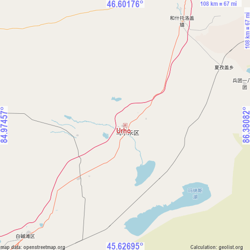
Urho GPS coordinates[2]
46° 6' 59.436" North, 85° 40' 39.684" East
| Map corner | latitude | longitude |
|---|---|---|
| Upper-left | 46.60176°, | 84.97457° |
| Center: | 46.11651°, | 85.67769° |
| Lower-right: | 45.62695°, | 86.38082° |
| Map W x H: | 108.4×108.4 km | = 67.4×67.4mi |
| max Lat: | 53.31946° ⇑4.8% North |
| Urho: | 46.11651° |
| min Lat: | ⇓95.2% South 18.22056° |
| min Long | Urho | max Long |
| 75.07348° | 85.67769° | 134.28917° |
| W 1.5%⇐ | ⇒98.5% E |
Elevation
Elevation of Urho is 308 m = 1010 ft, and this is 176.8 m = 580 ft below average elevation for this country.
| Max E: |
5622 m = 18445 ft | 36.2% |
| Avg. | 484.8 m = 1591 ft | |
| Urho | 308 m = 1010 ft | |
Min E: |
-3 m = -10 ft | 63.8% |
See also: China elevation on elevation.city.
Geographical zone
Urho is located in North temperate zone (between Tropic of Cancer and the Arctic Circle). Distance of this North polar circle is 2273.5 km =1412.7 mi to North.| Distance of | km | miles | from Urho |
|---|---|---|---|
| North Pole | 4879.4 | 3031.9 | to North |
| Arctic Circle | 2273.5 | 1412.7 | to North |
| Tropic Cancer | 2521.8 | 1567 | to South |
| Equator | 5127.7 | 3186.2 | to South |


Nearby cities:
15 places around Urho: (largest is in red/bold)
• Baijiantan
62.9 km =39.1 mi,  221°
221°
• Baikouquan
27.1 km =16.8 mi, 215°
• Bayinaobao
88.2 km =54.8 mi,  23°
23°
• Hoboksar
75.5 km =46.9 mi,  2°
2°
• Hoxtolgay
51.2 km =31.8 mi,  29°
29°
• Jinlong
80.1 km =49.8 mi, 221°
• Karamay
85.1 km =52.9 mi,  225°
225°
• Lamazhao
103.8 km =64.5 mi,  278°
278°
• Motge
78 km =48.5 mi,  6°
6°
• Qagan Hol
80.7 km =50.1 mi, 15°
• Sanping
73.3 km =45.5 mi, 220°
• Tiebukenwusan
78.4 km =48.7 mi,  347°
347°
• Tiechanggou
96.4 km =59.9 mi,  273°
273°
• Xazgat
49.7 km =30.9 mi,  59°
59°
• Xiaoguai
120.4 km =74.8 mi,  204°
204°
Sources, notices
• [Note1] Compared only with cities in China existing in our database
• [Src1] Map data: © OpenStreetMap contributors (CC-BY-SA)
• [Src2] Other city data from geonames.org with taken over terms of usage.
• [Src3] Geographical zone / Annual Mean Temperature by Robert A. Rohde @ Wikipedia
