Uramita geodata
Uramita (Antioquia) is a seat of a second-order administrative division; located in Colombia in America/Bogota (GMT-5) time zone. With population of 2,292 people, there are 765 cities with bigger population in this country. Compared to other cities in Colombia, 73.3% of cities are located further ↓South; 82.5% of cities are located further →East and 61.2% of cities have higher elevation than Uramita. Note1


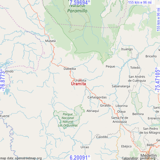
Uramita GPS coordinates[2]
6° 53' 57.984" North, 76° 10' 27.012" West
| Map corner | latitude | longitude |
|---|---|---|
| Upper-left | 7.59694°, | -76.8773° |
| Center: | 6.89944°, | -76.17417° |
| Lower-right: | 6.20091°, | -75.47105° |
| Map W x H: | 155.2×155.2 km | = 96.4×96.4mi |
| max Lat: | 13.38166° ⇑26.7% North |
| Uramita: | 6.89944° |
| min Lat: | ⇓73.3% South -4.21528° |
| min Long | Uramita | max Long |
| -81.70636° | -76.17417° | -67.06996° |
| W 17.5%⇐ | ⇒82.5% E |
Elevation
Elevation of Uramita is 648 m = 2126 ft, and this is 501.3 m = 1645 ft below average elevation for this country.
| Max E: |
3342 m = 10965 ft | 61.2% |
| Avg. | 1149.3 m = 3771 ft | |
| Uramita | 648 m = 2126 ft | |
Min E: |
1 m = 3 ft | 38.8% |
See also: Colombia elevation on elevation.city.
Geographical zone
Uramita is located in North Torrid zone (between Equator and Tropic of Cancer). Distance of Equator is 767.1 km =476.7 mi to South.| Distance of | km | miles | from Uramita |
|---|---|---|---|
| North Pole | 9239.9 | 5741.4 | to North |
| Arctic Circle | 6634 | 4122.2 | to North |
| Tropic Cancer | 1838.8 | 1142.6 | to North |
| Equator | 767.1 | 476.7 | to South |


Nearby cities:
15 places around Uramita: (largest is in red/bold)
• Abriaquí
32.2 km =20 mi,  157°
157°
• Buriticá
35.7 km =22.2 mi,  124°
124°
• Cañasgordas
23.4 km =14.5 mi,  135°
135°
• Dabeiba
15.3 km =9.5 mi,  316°
316°
• Frontino
14.9 km =9.3 mi, 162°
• Giraldo
34.5 km =21.4 mi,  134°
134°
• Ituango
54.4 km =33.8 mi,  56°
56°
• Liborina
46.9 km =29.1 mi, 121°
• Mutatá
48 km =29.8 mi, 323°
• Olaya
50.1 km =31.1 mi, 127°
• Peque
32.2 km =20 mi,  65°
65°
• Sabanalarga
39.8 km =24.7 mi,  98°
98°
• San Andrés
54.3 km =33.7 mi,  89°
89°
• Santa Fe de Antioquia
54 km =33.6 mi, 134°
• Toledo
54.3 km =33.7 mi,  76°
76°
Sources, notices
• [Note1] Compared only with cities in Colombia existing in our database
• [Src1] Map data: © OpenStreetMap contributors (CC-BY-SA)
• [Src2] Other city data from geonames.org with taken over terms of usage.
• [Src3] Geographical zone / Annual Mean Temperature by Robert A. Rohde @ Wikipedia
