Chámeza geodata
Chámeza (Casanare) is a seat of a second-order administrative division; located in Colombia in America/Bogota (GMT-5) time zone. With population of 948 people, there are 954 cities with bigger population in this country. Compared to other cities in Colombia, 57.1% of cities are located further ↑North; 89.1% of cities are located further ←West and 50% of cities have lower elevation than Chámeza. Note1


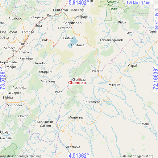
Chámeza GPS coordinates[2]
5° 12' 51.156" North, 72° 52' 10.128" West
| Map corner | latitude | longitude |
|---|---|---|
| Upper-left | 5.91402°, | -73.57261° |
| Center: | 5.21421°, | -72.86948° |
| Lower-right: | 4.51362°, | -72.16636° |
| Map W x H: | 155.7×155.7 km | = 96.7×96.7mi |
| max Lat: | 13.38166° ⇑57.1% North |
| Chámeza: | 5.21421° |
| min Lat: | ⇓42.9% South -4.21528° |
| min Long | Chámeza | max Long |
| -81.70636° | -72.86948° | -67.06996° |
| W 89.1%⇐ | ⇒10.9% E |
Elevation
Elevation of Chámeza is 1126 m = 3694 ft, and this is 23.3 m = 76 ft below average elevation for this country.
| Max E: |
3342 m = 10965 ft | 50% |
| Avg. | 1149.3 m = 3771 ft | |
| Chámeza | 1126 m = 3694 ft | |
Min E: |
1 m = 3 ft | 50% |
See also: Colombia elevation on elevation.city.
Geographical zone
Chámeza is located in North Torrid zone (between Equator and Tropic of Cancer). Distance of Equator is 579.8 km =360.3 mi to South.| Distance of | km | miles | from Chámeza |
|---|---|---|---|
| North Pole | 9427.3 | 5857.9 | to North |
| Arctic Circle | 6821.4 | 4238.6 | to North |
| Tropic Cancer | 2026.2 | 1259 | to North |
| Equator | 579.8 | 360.3 | to South |


Nearby cities:
15 places around Chámeza: (largest is in red/bold)
• Aguazul
36 km =22.4 mi,  97°
97°
• Aquitania
33.9 km =21.1 mi,  357°
357°
• Berbeo
28.4 km =17.6 mi,  272°
272°
• Campohermoso
32.9 km =20.4 mi,  231°
231°
• Cuítiva
42.1 km =26.2 mi,  345°
345°
• Miraflores
30.6 km =19 mi, 266°
• Monterrey
37.5 km =23.3 mi,  184°
184°
• Pajarito
20.4 km =12.7 mi,  64°
64°
• Páez
23.7 km =14.7 mi,  238°
238°
• Recetor
12.1 km =7.5 mi,  81°
81°
• Rondón
40.8 km =25.4 mi,  292°
292°
• San Eduardo
23 km =14.3 mi, 272°
• Tauramena
25.7 km =16 mi,  148°
148°
• Tota
40.4 km =25.1 mi,  341°
341°
• Zetaquira
34 km =21.1 mi,  282°
282°
Sources, notices
• [Note1] Compared only with cities in Colombia existing in our database
• [Src1] Map data: © OpenStreetMap contributors (CC-BY-SA)
• [Src2] Other city data from geonames.org with taken over terms of usage.
• [Src3] Geographical zone / Annual Mean Temperature by Robert A. Rohde @ Wikipedia
