Voróklini geodata
Voróklini (Larnaka) is a populated place; located in Cyprus in Asia/Nicosia (GMT+2) time zone. With population of 3,446 people, there are 34 cities with bigger population in this country. Compared to other cities in Cyprus, 54.7% of cities are located further ↓South; 84.6% of cities are located further ←West and 82.1% of cities have higher elevation than Voróklini. Note1


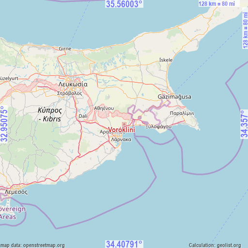
Voróklini GPS coordinates[2]
34° 59' 9.6" North, 33° 39' 13.932" East
| Map corner | latitude | longitude |
|---|---|---|
| Upper-left | 35.56003°, | 32.95075° |
| Center: | 34.986°, | 33.65387° |
| Lower-right: | 34.40791°, | 34.357° |
| Map W x H: | 128.1×128.1 km | = 79.6×79.6mi |
| max Lat: | 35.59719° ⇑45.3% North |
| Voróklini: | 34.986° |
| min Lat: | ⇓54.7% South 34.66865° |
| min Long | Voróklini | max Long |
| 32.38166° | 33.65387° | 34.37916° |
| W 84.6%⇐ | ⇒15.4% E |
Elevation
Elevation of Voróklini is 38 m = 125 ft, and this is 170 m = 558 ft below average elevation for this country.
| Max E: |
1134 m = 3720 ft | 82.1% |
| Avg. | 208 m = 682 ft | |
| Voróklini | 38 m = 125 ft | |
Min E: |
4 m = 13 ft | 17.9% |
See also: Cyprus elevation on elevation.city.
Geographical zone
Voróklini is located in North temperate zone (between Tropic of Cancer and the Arctic Circle). Distance of this Northern Tropic circle is 1284.2 km =798 mi to South.| Distance of | km | miles | from Voróklini |
|---|---|---|---|
| North Pole | 6117 | 3800.9 | to North |
| Arctic Circle | 3511.1 | 2181.7 | to North |
| Tropic Cancer | 1284.2 | 798 | to South |
| Equator | 3890.1 | 2417.2 | to South |


Nearby cities:
15 places around Voróklini: (largest is in red/bold)
• Aradíppou
6.8 km =4.2 mi,  235°
235°
• Athíenou
13.3 km =8.3 mi,  309°
309°
• Avgórou
17.8 km =11.1 mi,  71°
71°
• Dhromolaxia
13.7 km =8.5 mi,  206°
206°
• Kíti
17.1 km =10.6 mi, 205°
• Larnaca
7.5 km =4.7 mi,  201°
201°
• Livádia
4.6 km =2.9 mi, 212°
• Lýmpia
17.6 km =10.9 mi,  274°
274°
• Meneou
14.9 km =9.3 mi, 201°
• Pérgamos
7.9 km =4.9 mi,  38°
38°
• Pýla
4.5 km =2.8 mi,  49°
49°
• Tersefánou
17.6 km =10.9 mi, 213°
• Troúlloi
6.2 km =3.9 mi,  325°
325°
• Xylotymbou
8.8 km =5.5 mi, 66°
• Áchna
14.1 km =8.8 mi,  56°
56°
Sources, notices
• [Note1] Compared only with cities in Cyprus existing in our database
• [Src1] Map data: © OpenStreetMap contributors (CC-BY-SA)
• [Src2] Other city data from geonames.org with taken over terms of usage.
• [Src3] Geographical zone / Annual Mean Temperature by Robert A. Rohde @ Wikipedia
