Rossow geodata
Rossow (Mecklenburg-Vorpommern) is a populated place; located in Germany in Europe/Berlin (GMT+2) time zone. With population of 564 people, there are 9006 cities with bigger population in this country. Compared to other cities in Germany, 87.6% of cities are located further ↓South; 94.8% of cities are located further ←West and 77.9% of cities have higher elevation than Rossow. Note1
Administrative division(s):
- Level 1: Mecklenburg-Vorpommern
- Level 3: Mecklenburgische Seenplatte
- Level 4: Staven


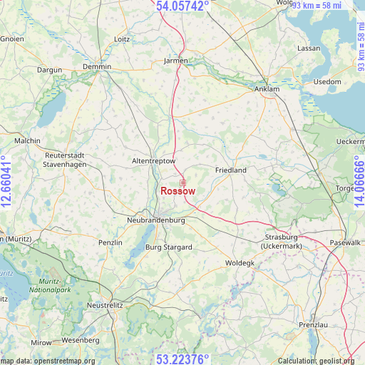
Rossow GPS coordinates[2]
53° 38' 33.54" North, 13° 21' 48.708" East
| Map corner | latitude | longitude |
|---|---|---|
| Upper-left | 54.05742°, | 12.66041° |
| Center: | 53.64265°, | 13.36353° |
| Lower-right: | 53.22376°, | 14.06666° |
| Map W x H: | 92.7×92.7 km | = 57.6×57.6mi |
| max Lat: | 55.01917° ⇑12.4% North |
| Rossow: | 53.64265° |
| min Lat: | ⇓87.6% South 47.40724° |
| min Long | Rossow | max Long |
| 5.92978° | 13.36353° | 14.98853° |
| W 94.8%⇐ | ⇒5.2% E |
Elevation
Elevation of Rossow is 53 m = 174 ft, and this is 196.1 m = 643 ft below average elevation for this country.
| Max E: |
1256 m = 4121 ft | 77.9% |
| Avg. | 249.1 m = 817 ft | |
| Rossow | 53 m = 174 ft | |
Min E: |
-5 m = -16 ft | 22.1% |
See also: Germany elevation on elevation.city.
Geographical zone
Rossow is located in North temperate zone (between Tropic of Cancer and the Arctic Circle). Distance of this North polar circle is 1436.7 km =892.7 mi to North.| Distance of | km | miles | from Rossow |
|---|---|---|---|
| North Pole | 4042.6 | 2512 | to North |
| Arctic Circle | 1436.7 | 892.7 | to North |
| Tropic Cancer | 3358.6 | 2086.9 | to South |
| Equator | 5964.5 | 3706.2 | to South |


Nearby cities:
15 places around Rossow: (largest is in red/bold)
• Altentreptow
8.7 km =5.4 mi,  311°
311°
• Breesen
13.1 km =8.1 mi,  263°
263°
• Brunn
3.2 km =2 mi,  8°
8°
• Eichhorst
10.3 km =6.4 mi,  120°
120°
• Friedland
12.9 km =8 mi,  76°
76°
• Groß Teetzleben
8.9 km =5.5 mi,  271°
271°
• Kessin
10.3 km =6.4 mi,  339°
339°
• Neubrandenburg
10.5 km =6.5 mi,  213°
213°
• Neuenkirchen
5.1 km =3.2 mi,  175°
175°
• Neverin
3 km =1.9 mi,  215°
215°
• Pragsdorf
11.7 km =7.3 mi,  169°
169°
• Siedenbollentin
10.1 km =6.3 mi, 6°
• Staven
3.1 km =1.9 mi, 122°
• Trollenhagen
6.2 km =3.9 mi,  230°
230°
• Woggersin
9.5 km =5.9 mi,  246°
246°
Sources, notices
• [Note1] Compared only with cities in Germany existing in our database
• [Src1] Map data: © OpenStreetMap contributors (CC-BY-SA)
• [Src2] Other city data from geonames.org with taken over terms of usage.
• [Src3] Geographical zone / Annual Mean Temperature by Robert A. Rohde @ Wikipedia
