Otzing geodata
Otzing (Bavaria) is a seat of a fourth-order administrative division; located in Germany in Europe/Berlin (GMT+2) time zone. With population of 1,956 people, there are 5124 cities with bigger population in this country. Compared to other cities in Germany, 85.8% of cities are located further ↑North; 90.8% of cities are located further ←West and 65.7% of cities have lower elevation than Otzing. Note1
Administrative division(s):
- Level 1: Bavaria
- Level 2: Lower Bavaria
- Level 3: Landkreis Deggendorf
- Level 4: Otzing


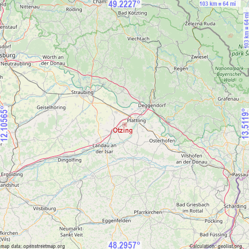
Otzing GPS coordinates[2]
48° 45' 40.824" North, 12° 48' 31.572" East
| Map corner | latitude | longitude |
|---|---|---|
| Upper-left | 49.2227°, | 12.10565° |
| Center: | 48.76134°, | 12.80877° |
| Lower-right: | 48.2957°, | 13.5119° |
| Map W x H: | 103.1×103.1 km | = 64.1×64.1mi |
| max Lat: | 55.01917° ⇑85.8% North |
| Otzing: | 48.76134° |
| min Lat: | ⇓14.2% South 47.40724° |
| min Long | Otzing | max Long |
| 5.92978° | 12.80877° | 14.98853° |
| W 90.8%⇐ | ⇒9.2% E |
Elevation
Elevation of Otzing is 326 m = 1070 ft, and this is 76.9 m = 252 ft above average elevation for this country.
| Max E: |
1256 m = 4121 ft | 34.3% |
| Otzing | 326 m 1070 ft | |
| Avg. | 249.1 m = 817 ft | |
Min E: |
-5 m = -16 ft | 65.7% |
See also: Germany elevation on elevation.city.
Geographical zone
Otzing is located in North temperate zone (between Tropic of Cancer and the Arctic Circle). Distance of this North polar circle is 1979.4 km =1229.9 mi to North.| Distance of | km | miles | from Otzing |
|---|---|---|---|
| North Pole | 4585.3 | 2849.2 | to North |
| Arctic Circle | 1979.4 | 1229.9 | to North |
| Tropic Cancer | 2815.8 | 1749.7 | to South |
| Equator | 5421.8 | 3368.9 | to South |


Nearby cities:
15 places around Otzing: (largest is in red/bold)
• Aholming
8 km =5 mi,  111°
111°
• Buchhofen
11.1 km =6.9 mi,  130°
130°
• Irlbach
9.8 km =6.1 mi,  334°
334°
• Landau an der Isar
13 km =8.1 mi,  220°
220°
• Mariaposching
8 km =5 mi,  355°
355°
• Metten
13 km =8.1 mi,  36°
36°
• Moos
11.2 km =7 mi,  95°
95°
• Oberpöring
6.7 km =4.2 mi,  169°
169°
• Oberschneiding
12.8 km =8 mi,  287°
287°
• Offenberg
11.9 km =7.4 mi,  19°
19°
• Plattling
5.2 km =3.2 mi,  68°
68°
• Stephansposching
6.2 km =3.9 mi,  354°
354°
• Straßkirchen
10 km =6.2 mi,  320°
320°
• Wallerfing
10.1 km =6.3 mi,  148°
148°
• Wallersdorf
5.2 km =3.2 mi,  239°
239°
Sources, notices
• [Note1] Compared only with cities in Germany existing in our database
• [Src1] Map data: © OpenStreetMap contributors (CC-BY-SA)
• [Src2] Other city data from geonames.org with taken over terms of usage.
• [Src3] Geographical zone / Annual Mean Temperature by Robert A. Rohde @ Wikipedia
