Niedergörsdorf geodata
Niedergörsdorf (Brandenburg) is a seat of a fourth-order administrative division; located in Germany in Europe/Berlin (GMT+2) time zone. With population of 7,197 people, there are 2141 cities with bigger population in this country. Compared to other cities in Germany, 71.9% of cities are located further ↓South; 92.2% of cities are located further ←West and 70.7% of cities have higher elevation than Niedergörsdorf. Note1
Administrative division(s):
- Level 1: Brandenburg
- Level 3: Landkreis Teltow-Fläming
- Level 4: Niedergörsdorf


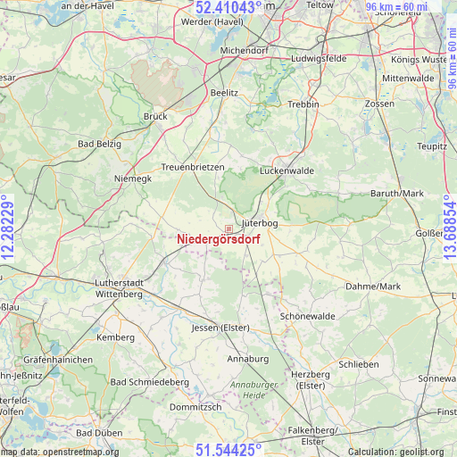
Niedergörsdorf GPS coordinates[2]
51° 58' 45.948" North, 12° 59' 7.476" East
| Map corner | latitude | longitude |
|---|---|---|
| Upper-left | 52.41043°, | 12.28229° |
| Center: | 51.97943°, | 12.98541° |
| Lower-right: | 51.54425°, | 13.68854° |
| Map W x H: | 96.3×96.3 km | = 59.8×59.8mi |
| max Lat: | 55.01917° ⇑28.1% North |
| Niedergörsdorf: | 51.97943° |
| min Lat: | ⇓71.9% South 47.40724° |
| min Long | Niedergörsdorf | max Long |
| 5.92978° | 12.98541° | 14.98853° |
| W 92.2%⇐ | ⇒7.8% E |
Elevation
Elevation of Niedergörsdorf is 87 m = 285 ft, and this is 162.1 m = 532 ft below average elevation for this country.
| Max E: |
1256 m = 4121 ft | 70.7% |
| Avg. | 249.1 m = 817 ft | |
| Niedergörsdorf | 87 m = 285 ft | |
Min E: |
-5 m = -16 ft | 29.3% |
See also: Germany elevation on elevation.city.
Geographical zone
Niedergörsdorf is located in North temperate zone (between Tropic of Cancer and the Arctic Circle). Distance of this North polar circle is 1621.6 km =1007.6 mi to North.| Distance of | km | miles | from Niedergörsdorf |
|---|---|---|---|
| North Pole | 4227.5 | 2626.8 | to North |
| Arctic Circle | 1621.6 | 1007.6 | to North |
| Tropic Cancer | 3173.7 | 1972 | to South |
| Equator | 5779.6 | 3591.3 | to South |


Nearby cities:
15 places around Niedergörsdorf: (largest is in red/bold)
• Abtsdorf
20.4 km =12.7 mi,  240°
240°
• Boßdorf
20.6 km =12.8 mi,  272°
272°
• Bülzig
18.4 km =11.4 mi, 238°
• Elster
19.9 km =12.4 mi,  213°
213°
• Jessen
20.8 km =12.9 mi,  185°
185°
• Jüterbog
6.7 km =4.2 mi,  74°
74°
• Kropstädt
16.5 km =10.3 mi,  263°
263°
• Linda
15.8 km =9.8 mi,  149°
149°
• Luckenwalde
17.5 km =10.9 mi,  45°
45°
• Mochau
21.6 km =13.4 mi, 255°
• Mühlanger
21.6 km =13.4 mi,  228°
228°
• Seyda
12.1 km =7.5 mi, 205°
• Treuenbrietzen
15.2 km =9.4 mi,  329°
329°
• Zahna
15.5 km =9.6 mi, 242°
• Zörnigall
19.9 km =12.4 mi, 232°
Sources, notices
• [Note1] Compared only with cities in Germany existing in our database
• [Src1] Map data: © OpenStreetMap contributors (CC-BY-SA)
• [Src2] Other city data from geonames.org with taken over terms of usage.
• [Src3] Geographical zone / Annual Mean Temperature by Robert A. Rohde @ Wikipedia
