Mitterteich geodata
Mitterteich (Bavaria) is a populated place; located in Germany in Europe/Berlin (GMT+2) time zone. With population of 7,252 people, there are 2128 cities with bigger population in this country. Compared to other cities in Germany, 65% of cities are located further ↑North; 85.2% of cities are located further ←West and 90.6% of cities have lower elevation than Mitterteich. Note1
Administrative division(s):
- Level 1: Bavaria
- Level 2: Upper Palatinate
- Level 3: Landkreis Tirschenreuth
- Level 4: Mitterteich


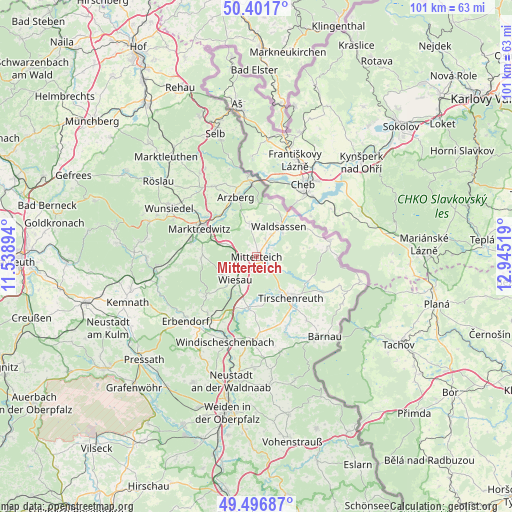
Mitterteich GPS coordinates[2]
49° 57' 5.076" North, 12° 14' 31.416" East
| Map corner | latitude | longitude |
|---|---|---|
| Upper-left | 50.4017°, | 11.53894° |
| Center: | 49.95141°, | 12.24206° |
| Lower-right: | 49.49687°, | 12.94519° |
| Map W x H: | 100.6×100.6 km | = 62.5×62.5mi |
| max Lat: | 55.01917° ⇑65% North |
| Mitterteich: | 49.95141° |
| min Lat: | ⇓35% South 47.40724° |
| min Long | Mitterteich | max Long |
| 5.92978° | 12.24206° | 14.98853° |
| W 85.2%⇐ | ⇒14.8% E |
Elevation
Elevation of Mitterteich is 522 m = 1713 ft, and this is 272.9 m = 895 ft above average elevation for this country.
| Max E: |
1256 m = 4121 ft | 9.4% |
| Mitterteich | 522 m 1713 ft | |
| Avg. | 249.1 m = 817 ft | |
Min E: |
-5 m = -16 ft | 90.6% |
See also: Germany elevation on elevation.city.
Geographical zone
Mitterteich is located in North temperate zone (between Tropic of Cancer and the Arctic Circle). Distance of this North polar circle is 1847.1 km =1147.7 mi to North.| Distance of | km | miles | from Mitterteich |
|---|---|---|---|
| North Pole | 4453 | 2767 | to North |
| Arctic Circle | 1847.1 | 1147.7 | to North |
| Tropic Cancer | 2948.2 | 1831.9 | to South |
| Equator | 5554.1 | 3451.2 | to South |


Nearby cities:
15 places around Mitterteich: (largest is in red/bold)
• Arzberg
12.5 km =7.8 mi,  341°
341°
• Falkenberg
10.4 km =6.5 mi,  186°
186°
• Friedenfels
12.7 km =7.9 mi,  232°
232°
• Fuchsmühl
7.6 km =4.7 mi,  245°
245°
• Hohenberg an der Eger
16 km =9.9 mi,  354°
354°
• Leonberg
3.1 km =1.9 mi,  98°
98°
• Marktredwitz
12.6 km =7.8 mi,  297°
297°
• Neualbenreuth
14.8 km =9.2 mi,  77°
77°
• Pechbrunn
5.7 km =3.5 mi,  287°
287°
• Schirnding
14.6 km =9.1 mi,  355°
355°
• Schwarzenbach
16 km =9.9 mi,  141°
141°
• Tirschenreuth
10 km =6.2 mi, 140°
• Waldershof
13.2 km =8.2 mi,  284°
284°
• Waldsassen
7.1 km =4.4 mi,  38°
38°
• Wiesau
6.1 km =3.8 mi,  218°
218°
Sources, notices
• [Note1] Compared only with cities in Germany existing in our database
• [Src1] Map data: © OpenStreetMap contributors (CC-BY-SA)
• [Src2] Other city data from geonames.org with taken over terms of usage.
• [Src3] Geographical zone / Annual Mean Temperature by Robert A. Rohde @ Wikipedia
