Messenkamp geodata
Messenkamp (Lower Saxony) is a seat of a fourth-order administrative division; located in Germany in Europe/Berlin (GMT+2) time zone. With population of 858 people, there are 7673 cities with bigger population in this country. Compared to other cities in Germany, 74.7% of cities are located further ↓South; 59.6% of cities are located further →East and 67.8% of cities have higher elevation than Messenkamp. Note1


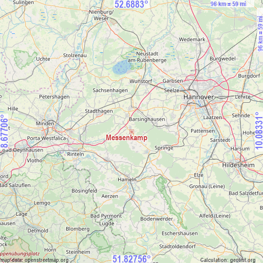
Messenkamp GPS coordinates[2]
52° 15' 36.072" North, 9° 22' 48.648" East
| Map corner | latitude | longitude |
|---|---|---|
| Upper-left | 52.6883°, | 8.67706° |
| Center: | 52.26002°, | 9.38018° |
| Lower-right: | 51.82756°, | 10.08331° |
| Map W x H: | 95.7×95.7 km | = 59.5×59.5mi |
| max Lat: | 55.01917° ⇑25.3% North |
| Messenkamp: | 52.26002° |
| min Lat: | ⇓74.7% South 47.40724° |
| min Long | Messenkamp | max Long |
| 5.92978° | 9.38018° | 14.98853° |
| W 40.4%⇐ | ⇒59.6% E |
Elevation
Elevation of Messenkamp is 103 m = 338 ft, and this is 146.1 m = 479 ft below average elevation for this country.
| Max E: |
1256 m = 4121 ft | 67.8% |
| Avg. | 249.1 m = 817 ft | |
| Messenkamp | 103 m = 338 ft | |
Min E: |
-5 m = -16 ft | 32.2% |
See also: Germany elevation on elevation.city.
Geographical zone
Messenkamp is located in North temperate zone (between Tropic of Cancer and the Arctic Circle). Distance of this North polar circle is 1590.4 km =988.2 mi to North.| Distance of | km | miles | from Messenkamp |
|---|---|---|---|
| North Pole | 4196.3 | 2607.5 | to North |
| Arctic Circle | 1590.4 | 988.2 | to North |
| Tropic Cancer | 3204.9 | 1991.4 | to South |
| Equator | 5810.8 | 3610.7 | to South |


Nearby cities:
15 places around Messenkamp: (largest is in red/bold)
• Apelern
4.5 km =2.8 mi,  317°
317°
• Bad Münder am Deister
9.2 km =5.7 mi,  141°
141°
• Bad Nenndorf
8.6 km =5.3 mi,  359°
359°
• Barsinghausen
6.5 km =4 mi,  46°
46°
• Beckedorf
10.9 km =6.8 mi,  336°
336°
• Egestorf
9.7 km =6 mi,  72°
72°
• Großgoltern
11.5 km =7.1 mi, 45°
• Heuerßen
10.4 km =6.5 mi, 317°
• Hohnhorst
12.2 km =7.6 mi, 357°
• Hülsede
1.7 km =1.1 mi,  227°
227°
• Lauenau
1.7 km =1.1 mi,  334°
334°
• Lindhorst
12.7 km =7.9 mi, 328°
• Pohle
2.6 km =1.6 mi,  285°
285°
• Rehren
10.4 km =6.5 mi,  253°
253°
• Rodenberg
6 km =3.7 mi, 344°
Sources, notices
• [Note1] Compared only with cities in Germany existing in our database
• [Src1] Map data: © OpenStreetMap contributors (CC-BY-SA)
• [Src2] Other city data from geonames.org with taken over terms of usage.
• [Src3] Geographical zone / Annual Mean Temperature by Robert A. Rohde @ Wikipedia
