Krummendeich geodata
Krummendeich (Lower Saxony) is a seat of a fourth-order administrative division; located in Germany in Europe/Berlin (GMT+2) time zone. With population of 480 people, there are 9447 cities with bigger population in this country. Compared to other cities in Germany, 90.3% of cities are located further ↓South; 62.3% of cities are located further →East and 99.1% of cities have higher elevation than Krummendeich. Note1


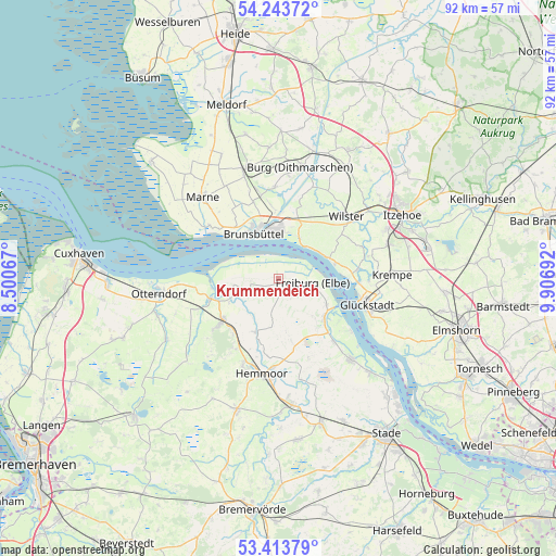
Krummendeich GPS coordinates[2]
53° 49' 50.916" North, 9° 12' 13.644" East
| Map corner | latitude | longitude |
|---|---|---|
| Upper-left | 54.24372°, | 8.50067° |
| Center: | 53.83081°, | 9.20379° |
| Lower-right: | 53.41379°, | 9.90692° |
| Map W x H: | 92.3×92.3 km | = 57.4×57.4mi |
| max Lat: | 55.01917° ⇑9.7% North |
| Krummendeich: | 53.83081° |
| min Lat: | ⇓90.3% South 47.40724° |
| min Long | Krummendeich | max Long |
| 5.92978° | 9.20379° | 14.98853° |
| W 37.7%⇐ | ⇒62.3% E |
Elevation
Elevation of Krummendeich is 0 m = 0 ft, and this is 249.1 m = 817 ft below average elevation for this country.
| Max E: |
1256 m = 4121 ft | 99.1% |
| Avg. | 249.1 m = 817 ft | |
| Krummendeich | 0 m = 0 ft | |
Min E: |
-5 m = -16 ft | 0.9% |
See also: Germany elevation on elevation.city.
Geographical zone
Krummendeich is located in North temperate zone (between Tropic of Cancer and the Arctic Circle). Distance of this North polar circle is 1415.7 km =879.7 mi to North.| Distance of | km | miles | from Krummendeich |
|---|---|---|---|
| North Pole | 4021.6 | 2498.9 | to North |
| Arctic Circle | 1415.7 | 879.7 | to North |
| Tropic Cancer | 3379.5 | 2099.9 | to South |
| Equator | 5985.4 | 3719.2 | to South |


Nearby cities:
15 places around Krummendeich: (largest is in red/bold)
• Averlak
12.2 km =7.6 mi,  353°
353°
• Balje
4.6 km =2.9 mi,  273°
273°
• Brokdorf
8.6 km =5.3 mi,  64°
64°
• Brunsbüttel
9.6 km =6 mi,  317°
317°
• Büttel
7.9 km =4.9 mi,  14°
14°
• Cadenberge
11.5 km =7.1 mi,  233°
233°
• Freiburg
5.6 km =3.5 mi,  96°
96°
• Geversdorf
8.6 km =5.3 mi,  246°
246°
• Kudensee
11.4 km =7.1 mi,  4°
4°
• Landscheide
10.4 km =6.5 mi,  17°
17°
• Neuhaus an der Oste
11.7 km =7.3 mi, 253°
• Oberndorf
9.7 km =6 mi,  201°
201°
• Oederquart
3.8 km =2.4 mi,  145°
145°
• Sankt Margarethen
7.5 km =4.7 mi,  25°
25°
• Wischhafen
9.1 km =5.7 mi,  125°
125°
Sources, notices
• [Note1] Compared only with cities in Germany existing in our database
• [Src1] Map data: © OpenStreetMap contributors (CC-BY-SA)
• [Src2] Other city data from geonames.org with taken over terms of usage.
• [Src3] Geographical zone / Annual Mean Temperature by Robert A. Rohde @ Wikipedia
