Erlensee geodata
Erlensee (Hesse) is a seat of a fourth-order administrative division; located in Germany in Europe/Berlin (GMT+2) time zone. With population of 12,663 people, there are 1278 cities with bigger population in this country. Compared to other cities in Germany, 59.8% of cities are located further ↑North; 65.7% of cities are located further →East and 66% of cities have higher elevation than Erlensee. Note1
Administrative division(s):
- Level 1: Hesse
- Level 2: Regierungsbezirk Darmstadt
- Level 3: Main-Kinzig-Kreis
- Level 4: Erlensee


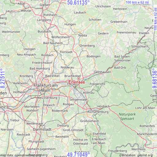
Erlensee GPS coordinates[2]
50° 9' 46.944" North, 8° 58' 41.628" East
| Map corner | latitude | longitude |
|---|---|---|
| Upper-left | 50.61135°, | 8.27511° |
| Center: | 50.16304°, | 8.97823° |
| Lower-right: | 49.71049°, | 9.68136° |
| Map W x H: | 100.2×100.2 km | = 62.3×62.3mi |
| max Lat: | 55.01917° ⇑59.8% North |
| Erlensee: | 50.16304° |
| min Lat: | ⇓40.2% South 47.40724° |
| min Long | Erlensee | max Long |
| 5.92978° | 8.97823° | 14.98853° |
| W 34.3%⇐ | ⇒65.7% E |
Elevation
Elevation of Erlensee is 114 m = 374 ft, and this is 135.1 m = 443 ft below average elevation for this country.
| Max E: |
1256 m = 4121 ft | 66% |
| Avg. | 249.1 m = 817 ft | |
| Erlensee | 114 m = 374 ft | |
Min E: |
-5 m = -16 ft | 34% |
See also: Germany elevation on elevation.city.
Geographical zone
Erlensee is located in North temperate zone (between Tropic of Cancer and the Arctic Circle). Distance of this North polar circle is 1823.6 km =1133.1 mi to North.| Distance of | km | miles | from Erlensee |
|---|---|---|---|
| North Pole | 4429.5 | 2752.4 | to North |
| Arctic Circle | 1823.6 | 1133.1 | to North |
| Tropic Cancer | 2971.7 | 1846.5 | to South |
| Equator | 5577.6 | 3465.8 | to South |


Nearby cities:
15 places around Erlensee: (largest is in red/bold)
• Alzenau in Unterfranken
10.3 km =6.4 mi,  143°
143°
• Bruchköbel
4.3 km =2.7 mi,  293°
293°
• Großkrotzenburg
8.9 km =5.5 mi,  177°
177°
• Hammersbach
6 km =3.7 mi,  3°
3°
• Hanau am Main
5.6 km =3.5 mi,  234°
234°
• Kahl am Main
10.5 km =6.5 mi,  169°
169°
• Langenselbold
4.7 km =2.9 mi,  71°
71°
• Maintal
10.4 km =6.5 mi,  262°
262°
• Mühlheim am Main
11.5 km =7.1 mi,  243°
243°
• Nidderau
11.5 km =7.1 mi,  316°
316°
• Nieder-Gründau
10.7 km =6.6 mi,  60°
60°
• Niederdorfelden
13.2 km =8.2 mi, 285°
• Obertshausen
13.6 km =8.5 mi,  221°
221°
• Rodenbach
4.2 km =2.6 mi,  110°
110°
• Seligenstadt
13.3 km =8.3 mi, 181°
Sources, notices
• [Note1] Compared only with cities in Germany existing in our database
• [Src1] Map data: © OpenStreetMap contributors (CC-BY-SA)
• [Src2] Other city data from geonames.org with taken over terms of usage.
• [Src3] Geographical zone / Annual Mean Temperature by Robert A. Rohde @ Wikipedia
