Zagra geodata
Zagra (Andalusia) is a seat of a third-order administrative division; located in Spain in Europe/Madrid (GMT+2) time zone. With population of 1,092 people, there are 2830 cities with bigger population in this country. Compared to other cities in Spain, 93.4% of cities are located further ↑North; 62.1% of cities are located further →East and 51.8% of cities have lower elevation than Zagra. Note1


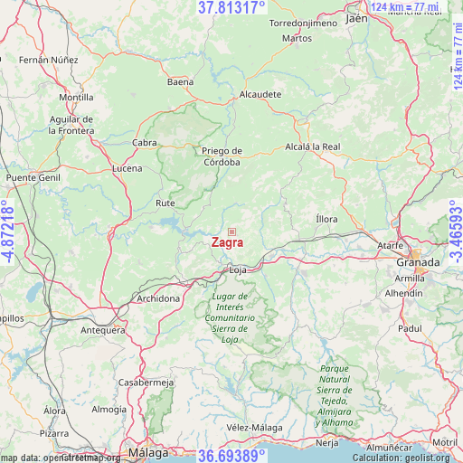
Zagra GPS coordinates[2]
37° 15' 20.196" North, 4° 10' 8.58" West
| Map corner | latitude | longitude |
|---|---|---|
| Upper-left | 37.81317°, | -4.87218° |
| Center: | 37.25561°, | -4.16905° |
| Lower-right: | 36.69389°, | -3.46593° |
| Map W x H: | 124.5×124.5 km | = 77.4×77.4mi |
| max Lat: | 43.74134° ⇑93.4% North |
| Zagra: | 37.25561° |
| min Lat: | ⇓6.6% South 27.64134° |
| min Long | Zagra | max Long |
| -18.00367° | -4.16905° | 4.2899° |
| W 37.9%⇐ | ⇒62.1% E |
Elevation
Elevation of Zagra is 677 m = 2221 ft, and this is 79 m = 259 ft above average elevation for this country.
| Max E: |
1682 m = 5518 ft | 48.2% |
| Zagra | 677 m 2221 ft | |
| Avg. | 598 m = 1962 ft | |
Min E: |
0 m = 0 ft | 51.8% |
See also: Spain elevation on elevation.city.
Geographical zone
Zagra is located in North temperate zone (between Tropic of Cancer and the Arctic Circle). Distance of this Northern Tropic circle is 1536.5 km =954.7 mi to South.| Distance of | km | miles | from Zagra |
|---|---|---|---|
| North Pole | 5864.6 | 3644.1 | to North |
| Arctic Circle | 3258.7 | 2024.9 | to North |
| Tropic Cancer | 1536.5 | 954.7 | to South |
| Equator | 4142.4 | 2574 | to South |


Nearby cities:
15 places around Zagra: (largest is in red/bold)
• Algarinejo
7.8 km =4.8 mi,  6°
6°
• Almedinilla
21.5 km =13.4 mi,  18°
18°
• Carcabuey
23 km =14.3 mi,  335°
335°
• Cuevas de San Marcos
21.7 km =13.5 mi,  273°
273°
• Huétor-Tájar
12.5 km =7.8 mi,  120°
120°
• Iznájar
12.3 km =7.6 mi, 271°
• Loja
9.8 km =6.1 mi,  170°
170°
• Montefrío
16 km =9.9 mi,  62°
62°
• Moraleda de Zafayona
20.6 km =12.8 mi, 118°
• Priego de Córdoba
20.4 km =12.7 mi,  353°
353°
• Rute
19.3 km =12 mi,  294°
294°
• Salar
14.9 km =9.3 mi,  141°
141°
• Venta Nueva
14 km =8.7 mi, 123°
• Villanueva de Mesía
14.5 km =9 mi,  108°
108°
• Villanueva de Tapia
16.7 km =10.4 mi,  240°
240°
Sources, notices
• [Note1] Compared only with cities in Spain existing in our database
• [Src1] Map data: © OpenStreetMap contributors (CC-BY-SA)
• [Src2] Other city data from geonames.org with taken over terms of usage.
• [Src3] Geographical zone / Annual Mean Temperature by Robert A. Rohde @ Wikipedia
