San Pedro geodata
San Pedro (Castille-La Mancha) is a populated place; located in Spain in Europe/Madrid (GMT+2) time zone. With population of 1,277 people, there are 2662 cities with bigger population in this country. Compared to other cities in Spain, 83% of cities are located further ↑North; 65% of cities are located further ←West and 73.4% of cities have lower elevation than San Pedro. Note1
Administrative division(s):
- Level 1: Castille-La Mancha
- Level 2: Provincia de Albacete
- Level 3: Casas de Lázaro


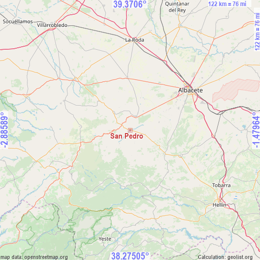
San Pedro GPS coordinates[2]
38° 49' 29.748" North, 2° 10' 57.936" West
| Map corner | latitude | longitude |
|---|---|---|
| Upper-left | 39.3706°, | -2.88589° |
| Center: | 38.82493°, | -2.18276° |
| Lower-right: | 38.27505°, | -1.47964° |
| Map W x H: | 121.8×121.8 km | = 75.7×75.7mi |
| max Lat: | 43.74134° ⇑83% North |
| San Pedro: | 38.82493° |
| min Lat: | ⇓17% South 27.64134° |
| min Long | San Pedro | max Long |
| -18.00367° | -2.18276° | 4.2899° |
| W 65%⇐ | ⇒35% E |
Elevation
Elevation of San Pedro is 838 m = 2749 ft, and this is 240 m = 787 ft above average elevation for this country.
| Max E: |
1682 m = 5518 ft | 26.6% |
| San Pedro | 838 m 2749 ft | |
| Avg. | 598 m = 1962 ft | |
Min E: |
0 m = 0 ft | 73.4% |
See also: Spain elevation on elevation.city.
Geographical zone
San Pedro is located in North temperate zone (between Tropic of Cancer and the Arctic Circle). Distance of this Northern Tropic circle is 1711 km =1063.2 mi to South.| Distance of | km | miles | from San Pedro |
|---|---|---|---|
| North Pole | 5690.1 | 3535.7 | to North |
| Arctic Circle | 3084.2 | 1916.4 | to North |
| Tropic Cancer | 1711 | 1063.2 | to South |
| Equator | 4316.9 | 2682.4 | to South |


Nearby cities:
15 places around San Pedro: (largest is in red/bold)
• Alcadozo
26.3 km =16.3 mi,  138°
138°
• Alcaraz
32 km =19.9 mi,  236°
236°
• Ayna
31.8 km =19.8 mi,  164°
164°
• Balazote
7.1 km =4.4 mi,  22°
22°
• Barrax
24.6 km =15.3 mi,  356°
356°
• Bogarra
27.2 km =16.9 mi,  185°
185°
• Casas de Lázaro
7.8 km =4.8 mi,  219°
219°
• El Ballestero
23.7 km =14.7 mi,  274°
274°
• Lezuza
20.3 km =12.6 mi,  313°
313°
• Masegoso
16.6 km =10.3 mi, 224°
• Paterna del Madera
28.9 km =18 mi,  208°
208°
• Peñas de San Pedro
18.8 km =11.7 mi,  124°
124°
• Pozohondo
26.2 km =16.3 mi, 116°
• Pozuelo
7.3 km =4.5 mi,  103°
103°
• Robledo
24.4 km =15.2 mi,  252°
252°
Sources, notices
• [Note1] Compared only with cities in Spain existing in our database
• [Src1] Map data: © OpenStreetMap contributors (CC-BY-SA)
• [Src2] Other city data from geonames.org with taken over terms of usage.
• [Src3] Geographical zone / Annual Mean Temperature by Robert A. Rohde @ Wikipedia
