Herrera geodata
Herrera (Andalusia) is a seat of a third-order administrative division; located in Spain in Europe/Madrid (GMT+2) time zone. With population of 6,230 people, there are 1109 cities with bigger population in this country. Compared to other cities in Spain, 92.3% of cities are located further ↑North; 70.4% of cities are located further →East and 78.4% of cities have higher elevation than Herrera. Note1


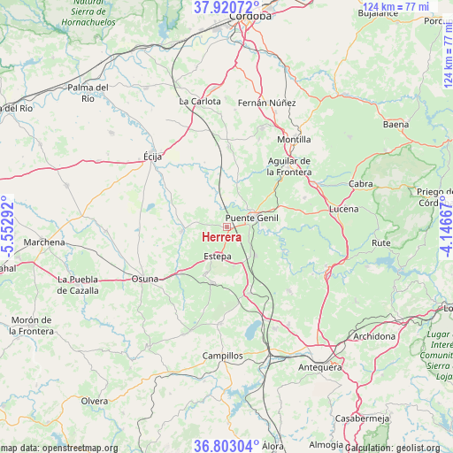
Herrera GPS coordinates[2]
37° 21' 50.256" North, 4° 50' 59.244" West
| Map corner | latitude | longitude |
|---|---|---|
| Upper-left | 37.92072°, | -5.55292° |
| Center: | 37.36396°, | -4.84979° |
| Lower-right: | 36.80304°, | -4.14667° |
| Map W x H: | 124.3×124.3 km | = 77.2×77.2mi |
| max Lat: | 43.74134° ⇑92.3% North |
| Herrera: | 37.36396° |
| min Lat: | ⇓7.7% South 27.64134° |
| min Long | Herrera | max Long |
| -18.00367° | -4.84979° | 4.2899° |
| W 29.6%⇐ | ⇒70.4% E |
Elevation
Elevation of Herrera is 249 m = 817 ft, and this is 349 m = 1145 ft below average elevation for this country.
| Max E: |
1682 m = 5518 ft | 78.4% |
| Avg. | 598 m = 1962 ft | |
| Herrera | 249 m = 817 ft | |
Min E: |
0 m = 0 ft | 21.6% |
See also: Spain elevation on elevation.city.
Geographical zone
Herrera is located in North temperate zone (between Tropic of Cancer and the Arctic Circle). Distance of this Northern Tropic circle is 1548.6 km =962.3 mi to South.| Distance of | km | miles | from Herrera |
|---|---|---|---|
| North Pole | 5852.6 | 3636.6 | to North |
| Arctic Circle | 3246.7 | 2017.4 | to North |
| Tropic Cancer | 1548.6 | 962.3 | to South |
| Equator | 4154.5 | 2581.5 | to South |


Nearby cities:
15 places around Herrera: (largest is in red/bold)
• Aguadulce
17.7 km =11 mi,  225°
225°
• Aguilar
23.9 km =14.9 mi,  45°
45°
• Alameda
24.2 km =15 mi,  135°
135°
• Badolatosa
16.8 km =10.4 mi,  111°
111°
• Casariche
11.1 km =6.9 mi,  134°
134°
• El Rubio
12.3 km =7.6 mi,  265°
265°
• Estepa
8.3 km =5.2 mi,  198°
198°
• Gilena
13.7 km =8.5 mi, 204°
• La Roda de Andalucía
18.9 km =11.7 mi,  160°
160°
• Lora de Estepa
10.7 km =6.6 mi,  169°
169°
• Marinaleda
9.7 km =6 mi, 274°
• Moriles
22.9 km =14.2 mi,  69°
69°
• Pedrera
15.8 km =9.8 mi,  194°
194°
• Puente-Genil
7.9 km =4.9 mi, 68°
• Santaella
22.1 km =13.7 mi,  1°
1°
Sources, notices
• [Note1] Compared only with cities in Spain existing in our database
• [Src1] Map data: © OpenStreetMap contributors (CC-BY-SA)
• [Src2] Other city data from geonames.org with taken over terms of usage.
• [Src3] Geographical zone / Annual Mean Temperature by Robert A. Rohde @ Wikipedia
