Añover de Tajo geodata
Añover de Tajo (Castille-La Mancha) is a seat of a third-order administrative division; located in Spain in Europe/Madrid (GMT+2) time zone. With population of 5,075 people, there are 1285 cities with bigger population in this country. Compared to other cities in Spain, 70.3% of cities are located further ↑North; 56.2% of cities are located further →East and 54.7% of cities have higher elevation than Añover de Tajo. Note1
Administrative division(s):
- Level 1: Castille-La Mancha
- Level 2: Province of Toledo
- Level 3: Añover de Tajo


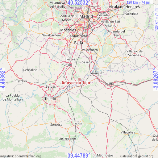
Añover de Tajo GPS coordinates[2]
39° 59' 19.428" North, 3° 45' 56.844" West
| Map corner | latitude | longitude |
|---|---|---|
| Upper-left | 40.52532°, | -4.46892° |
| Center: | 39.98873°, | -3.76579° |
| Lower-right: | 39.44789°, | -3.06267° |
| Map W x H: | 119.8×119.8 km | = 74.4×74.4mi |
| max Lat: | 43.74134° ⇑70.3% North |
| Añover de Tajo: | 39.98873° |
| min Lat: | ⇓29.7% South 27.64134° |
| min Long | Añover de Tajo | max Long |
| -18.00367° | -3.76579° | 4.2899° |
| W 43.8%⇐ | ⇒56.2% E |
Elevation
Elevation of Añover de Tajo is 598 m = 1962 ft, and this is 0 m = 0 ft above average elevation for this country.
| Max E: |
1682 m = 5518 ft | 54.7% |
| Añover de Tajo | 598 m 1962 ft | |
| Avg. | 598 m = 1962 ft | |
Min E: |
0 m = 0 ft | 45.3% |
See also: Spain elevation on elevation.city.
Geographical zone
Añover de Tajo is located in North temperate zone (between Tropic of Cancer and the Arctic Circle). Distance of this Northern Tropic circle is 1840.4 km =1143.6 mi to South.| Distance of | km | miles | from Añover de Tajo |
|---|---|---|---|
| North Pole | 5560.7 | 3455.3 | to North |
| Arctic Circle | 2954.8 | 1836 | to North |
| Tropic Cancer | 1840.4 | 1143.6 | to South |
| Equator | 4446.3 | 2762.8 | to South |


Nearby cities:
15 places around Añover de Tajo: (largest is in red/bold)
• Aranjuez
14.7 km =9.1 mi,  71°
71°
• Borox
9.1 km =5.7 mi,  15°
15°
• Ciruelos
14.1 km =8.8 mi,  113°
113°
• Cobeja
8.5 km =5.3 mi,  294°
294°
• Esquivias
12.9 km =8 mi,  359°
359°
• La Alameda de la Sagra
3.4 km =2.1 mi,  318°
318°
• Magán
14.5 km =9 mi,  257°
257°
• Mocejón
14 km =8.7 mi,  246°
246°
• Numancia de la Sagra
11.9 km =7.4 mi, 322°
• Pantoja
8.3 km =5.2 mi, 316°
• Seseña
14.1 km =8.8 mi, 24°
• Villaseca de la Sagra
10.4 km =6.5 mi, 253°
• Villasequilla de Yepes
12.9 km =8 mi,  166°
166°
• Yuncler
12.8 km =8 mi,  296°
296°
• Yuncos
14 km =8.7 mi, 320°
Sources, notices
• [Note1] Compared only with cities in Spain existing in our database
• [Src1] Map data: © OpenStreetMap contributors (CC-BY-SA)
• [Src2] Other city data from geonames.org with taken over terms of usage.
• [Src3] Geographical zone / Annual Mean Temperature by Robert A. Rohde @ Wikipedia
