Vega de Espinareda geodata
Vega de Espinareda (Castille and León) is a seat of a third-order administrative division; located in Spain in Europe/Madrid (GMT+2) time zone. With population of 2,647 people, there are 1840 cities with bigger population in this country. Compared to other cities in Spain, 91.9% of cities are located further ↓South; 92.4% of cities are located further →East and 53.6% of cities have higher elevation than Vega de Espinareda. Note1
Administrative division(s):
- Level 1: Castille and León
- Level 2: Provincia de León
- Level 3: Vega de Espinareda


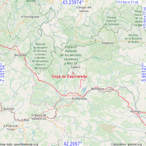
Vega de Espinareda GPS coordinates[2]
42° 43' 31.332" North, 6° 39' 15.804" West
| Map corner | latitude | longitude |
|---|---|---|
| Upper-left | 43.23974°, | -7.35752° |
| Center: | 42.72537°, | -6.65439° |
| Lower-right: | 42.2067°, | -5.95127° |
| Map W x H: | 114.9×114.9 km | = 71.4×71.4mi |
| max Lat: | 43.74134° ⇑8.1% North |
| Vega de Espinareda: | 42.72537° |
| min Lat: | ⇓91.9% South 27.64134° |
| min Long | Vega de Espinar | max Long |
| -18.00367° | -6.65439° | 4.2899° |
| W 7.6%⇐ | ⇒92.4% E |
Elevation
Elevation of Vega de Espinareda is 616 m = 2021 ft, and this is 18 m = 59 ft above average elevation for this country.
| Max E: |
1682 m = 5518 ft | 53.6% |
| Vega de Espinareda | 616 m 2021 ft | |
| Avg. | 598 m = 1962 ft | |
Min E: |
0 m = 0 ft | 46.4% |
See also: Spain elevation on elevation.city.
Geographical zone
Vega de Espinareda is located in North temperate zone (between Tropic of Cancer and the Arctic Circle). Distance of this Northern Tropic circle is 2144.7 km =1332.7 mi to South.| Distance of | km | miles | from Vega de Espinareda |
|---|---|---|---|
| North Pole | 5256.4 | 3266.2 | to North |
| Arctic Circle | 2650.6 | 1647 | to North |
| Tropic Cancer | 2144.7 | 1332.7 | to South |
| Equator | 4750.6 | 2951.9 | to South |


Nearby cities:
15 places around Vega de Espinareda: (largest is in red/bold)
• Arganza
9.8 km =6.1 mi,  195°
195°
• Berlanga del Bierzo
4 km =2.5 mi,  81°
81°
• Cacabelos
15 km =9.3 mi, 202°
• Camponaraya
16.4 km =10.2 mi,  183°
183°
• Candín
11.8 km =7.3 mi,  329°
329°
• Carracedelo
19.9 km =12.4 mi, 198°
• Congosto
16.2 km =10.1 mi,  137°
137°
• Cubillos del Sil
13.4 km =8.3 mi,  146°
146°
• Fabero
5.3 km =3.3 mi,  25°
25°
• Peranzanes
17 km =10.6 mi,  5°
5°
• Páramo del Sil
17.3 km =10.7 mi,  52°
52°
• Sancedo
6.7 km =4.2 mi,  166°
166°
• Toreno
12 km =7.5 mi,  103°
103°
• Villadecanes
18.3 km =11.4 mi,  208°
208°
• Villafranca del Bierzo
18.4 km =11.4 mi,  223°
223°
Sources, notices
• [Note1] Compared only with cities in Spain existing in our database
• [Src1] Map data: © OpenStreetMap contributors (CC-BY-SA)
• [Src2] Other city data from geonames.org with taken over terms of usage.
• [Src3] Geographical zone / Annual Mean Temperature by Robert A. Rohde @ Wikipedia
