Culla geodata
Culla (Valencia) is a seat of a third-order administrative division; located in Spain in Europe/Madrid (GMT+2) time zone. With population of 677 people, there are 3445 cities with bigger population in this country. Compared to other cities in Spain, 65.1% of cities are located further ↑North; 85.9% of cities are located further ←West and 91.9% of cities have lower elevation than Culla. Note1


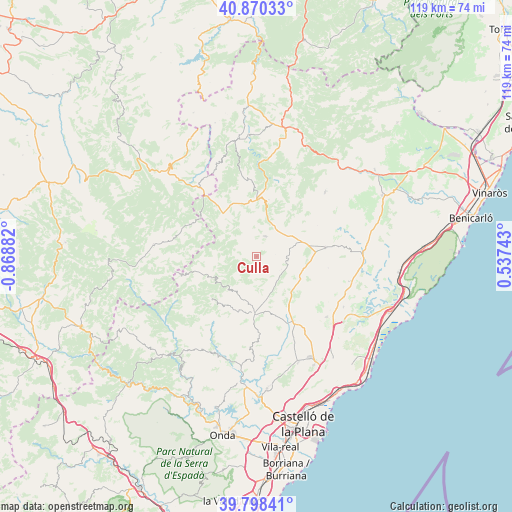
Culla GPS coordinates[2]
40° 20' 11.4" North, 0° 9' 56.484" West
| Map corner | latitude | longitude |
|---|---|---|
| Upper-left | 40.87033°, | -0.86882° |
| Center: | 40.3365°, | -0.16569° |
| Lower-right: | 39.79841°, | 0.53743° |
| Map W x H: | 119.2×119.2 km | = 74.1×74.1mi |
| max Lat: | 43.74134° ⇑65.1% North |
| Culla: | 40.3365° |
| min Lat: | ⇓34.9% South 27.64134° |
| min Long | Culla | max Long |
| -18.00367° | -0.16569° | 4.2899° |
| W 85.9%⇐ | ⇒14.1% E |
Elevation
Elevation of Culla is 1065 m = 3494 ft, and this is 467 m = 1532 ft above average elevation for this country.
| Max E: |
1682 m = 5518 ft | 8.1% |
| Culla | 1065 m 3494 ft | |
| Avg. | 598 m = 1962 ft | |
Min E: |
0 m = 0 ft | 91.9% |
See also: Spain elevation on elevation.city.
Geographical zone
Culla is located in North temperate zone (between Tropic of Cancer and the Arctic Circle). Distance of this Northern Tropic circle is 1879.1 km =1167.6 mi to South.| Distance of | km | miles | from Culla |
|---|---|---|---|
| North Pole | 5522.1 | 3431.3 | to North |
| Arctic Circle | 2916.2 | 1812 | to North |
| Tropic Cancer | 1879.1 | 1167.6 | to South |
| Equator | 4485 | 2786.8 | to South |


Nearby cities:
15 places around Culla: (largest is in red/bold)
• Adzaneta
13.4 km =8.3 mi,  181°
181°
• Albocàsser
16.9 km =10.5 mi,  84°
84°
• Ares del Maestre
13.7 km =8.5 mi,  11°
11°
• Benafigos
7.6 km =4.7 mi,  208°
208°
• Benassal
5 km =3.1 mi,  26°
26°
• Benlloch
21.5 km =13.4 mi,  130°
130°
• Castellfort
18.5 km =11.5 mi,  353°
353°
• Catí
21.9 km =13.6 mi,  46°
46°
• La Iglesuela del Cid
20.9 km =13 mi,  321°
321°
• Sarratella
16.9 km =10.5 mi,  98°
98°
• Sierra-Engarcerán
14.5 km =9 mi,  120°
120°
• Tirig
22.8 km =14.2 mi,  64°
64°
• Useras
19.9 km =12.4 mi, 179°
• Villafranca del Cid
12.9 km =8 mi, 322°
• Vistabella del Maestrazgo
11.8 km =7.3 mi,  247°
247°
Sources, notices
• [Note1] Compared only with cities in Spain existing in our database
• [Src1] Map data: © OpenStreetMap contributors (CC-BY-SA)
• [Src2] Other city data from geonames.org with taken over terms of usage.
• [Src3] Geographical zone / Annual Mean Temperature by Robert A. Rohde @ Wikipedia
