Castro geodata
Castro (Galicia) is a populated place; located in Spain in Europe/Madrid (GMT+2) time zone. With population of 5,822 people, there are 1158 cities with bigger population in this country. Compared to other cities in Spain, 92.2% of cities are located further ↓South; 95.5% of cities are located further →East and 50.8% of cities have lower elevation than Castro. Note1


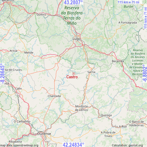
Castro GPS coordinates[2]
42° 46' 0.012" North, 7° 34' 59.988" West
| Map corner | latitude | longitude |
|---|---|---|
| Upper-left | 43.2807°, | -8.28645° |
| Center: | 42.76667°, | -7.58333° |
| Lower-right: | 42.24834°, | -6.8802° |
| Map W x H: | 114.8×114.8 km | = 71.3×71.3mi |
| max Lat: | 43.74134° ⇑7.8% North |
| Castro: | 42.76667° |
| min Lat: | ⇓92.2% South 27.64134° |
| min Long | Castro | max Long |
| -18.00367° | -7.58333° | 4.2899° |
| W 4.5%⇐ | ⇒95.5% E |
Elevation
Elevation of Castro is 667 m = 2188 ft, and this is 69 m = 226 ft above average elevation for this country.
| Max E: |
1682 m = 5518 ft | 49.2% |
| Castro | 667 m 2188 ft | |
| Avg. | 598 m = 1962 ft | |
Min E: |
0 m = 0 ft | 50.8% |
See also: Spain elevation on elevation.city.
Geographical zone
Castro is located in North temperate zone (between Tropic of Cancer and the Arctic Circle). Distance of this Northern Tropic circle is 2149.3 km =1335.5 mi to South.| Distance of | km | miles | from Castro |
|---|---|---|---|
| North Pole | 5251.9 | 3263.4 | to North |
| Arctic Circle | 2646 | 1644.1 | to North |
| Tropic Cancer | 2149.3 | 1335.5 | to South |
| Equator | 4755.2 | 2954.7 | to South |


Nearby cities:
15 places around Castro: (largest is in red/bold)
• Bóveda
18 km =11.2 mi,  151°
151°
• Chantada
23.3 km =14.5 mi,  221°
221°
• Corgo
23.3 km =14.5 mi,  32°
32°
• Guntín
16.1 km =10 mi,  326°
326°
• Lugo
27.1 km =16.8 mi,  4°
4°
• Láncara
22.9 km =14.2 mi,  61°
61°
• Monforte de Lemos
27.8 km =17.3 mi,  168°
168°
• Monterroso
20.7 km =12.9 mi,  277°
277°
• O Incio
24.2 km =15 mi,  127°
127°
• Ourol
11.8 km =7.3 mi,  347°
347°
• Paradela
1.4 km =0.9 mi,  90°
90°
• Portomarín
5.2 km =3.2 mi, 328°
• Samos
21.4 km =13.3 mi,  100°
100°
• Sarria
13.9 km =8.6 mi,  83°
83°
• Taboada
21 km =13 mi,  248°
248°
Sources, notices
• [Note1] Compared only with cities in Spain existing in our database
• [Src1] Map data: © OpenStreetMap contributors (CC-BY-SA)
• [Src2] Other city data from geonames.org with taken over terms of usage.
• [Src3] Geographical zone / Annual Mean Temperature by Robert A. Rohde @ Wikipedia
