Ullava geodata
Ullava (Central Ostrobothnia) is a seat of a third-order administrative division; located in Finland in Europe/Helsinki (GMT+3) time zone. With population of 1,048 people, there are 423 cities with bigger population in this country. Compared to other cities in Finland, 80.3% of cities are located further ↓South; 59.4% of cities are located further →East and 84.2% of cities have lower elevation than Ullava. Note1


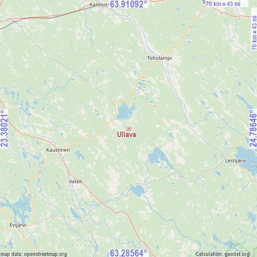
Ullava GPS coordinates[2]
63° 36' 0" North, 24° 4' 59.988" East
| Map corner | latitude | longitude |
|---|---|---|
| Upper-left | 63.91092°, | 23.38021° |
| Center: | 63.6°, | 24.08333° |
| Lower-right: | 63.28564°, | 24.78646° |
| Map W x H: | 69.5×69.5 km | = 43.2×43.2mi |
| max Lat: | 69.90864° ⇑19.7% North |
| Ullava: | 63.6° |
| min Lat: | ⇓80.3% South 59.83333° |
| min Long | Ullava | max Long |
| 21.2° | 24.08333° | 30.93276° |
| W 40.6%⇐ | ⇒59.4% E |
Elevation
Elevation of Ullava is 124 m = 407 ft, and this is 46.9 m = 154 ft above average elevation for this country.
| Max E: |
299 m = 981 ft | 15.8% |
| Ullava | 124 m 407 ft | |
| Avg. | 77.1 m = 253 ft | |
Min E: |
1 m = 3 ft | 84.2% |
See also: Finland elevation on elevation.city.
Geographical zone
Ullava is located in North temperate zone (between Tropic of Cancer and the Arctic Circle). Distance of this North polar circle is 329.5 km =204.7 mi to North.| Distance of | km | miles | from Ullava |
|---|---|---|---|
| North Pole | 2935.4 | 1824 | to North |
| Arctic Circle | 329.5 | 204.7 | to North |
| Tropic Cancer | 4465.7 | 2774.9 | to South |
| Equator | 7071.7 | 4394.1 | to South |


Nearby cities:
15 places around Ullava: (largest is in red/bold)
• Evijärvi
39.5 km =24.5 mi,  228°
228°
• Halsua
15.4 km =9.6 mi,  164°
164°
• Kannus
34.6 km =21.5 mi,  344°
344°
• Kaustinen
20.4 km =12.7 mi,  253°
253°
• Kinnula
49.3 km =30.6 mi,  119°
119°
• Kinnula
50.9 km =31.6 mi, 120°
• Kälviä
42.5 km =26.4 mi,  313°
313°
• Lappajärvi
49.8 km =30.9 mi,  206°
206°
• Lestijärvi
29 km =18 mi,  104°
104°
• Perho
45.7 km =28.4 mi, 158°
• Reisjärvi
40.4 km =25.1 mi,  87°
87°
• Sievi
39.1 km =24.3 mi,  31°
31°
• Toholampi
20.3 km =12.6 mi,  23°
23°
• Veteli
20.1 km =12.5 mi, 227°
• Vimpeli
50.5 km =31.4 mi,  195°
195°
Sources, notices
• [Note1] Compared only with cities in Finland existing in our database
• [Src1] Map data: © OpenStreetMap contributors (CC-BY-SA)
• [Src2] Other city data from geonames.org with taken over terms of usage.
• [Src3] Geographical zone / Annual Mean Temperature by Robert A. Rohde @ Wikipedia
