Heinola geodata
Heinola (Päijänne Tavastia) is a seat of a third-order administrative division; located in Finland in Europe/Helsinki (GMT+3) time zone. With population of 20,849 people, there are 51 cities with bigger population in this country. Compared to other cities in Finland, 63% of cities are located further ↑North; 70.9% of cities are located further ←West and 68.2% of cities have lower elevation than Heinola. Note1


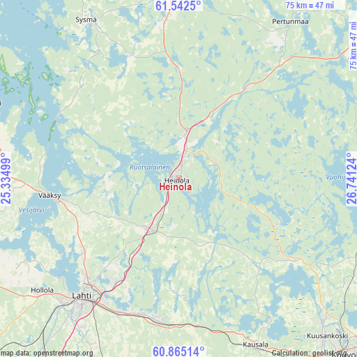
Heinola GPS coordinates[2]
61° 12' 20.304" North, 26° 2' 17.196" East
| Map corner | latitude | longitude |
|---|---|---|
| Upper-left | 61.5425°, | 25.33499° |
| Center: | 61.20564°, | 26.03811° |
| Lower-right: | 60.86514°, | 26.74124° |
| Map W x H: | 75.3×75.3 km | = 46.8×46.8mi |
| max Lat: | 69.90864° ⇑63% North |
| Heinola: | 61.20564° |
| min Lat: | ⇓37% South 59.83333° |
| min Long | Heinola | max Long |
| 21.2° | 26.03811° | 30.93276° |
| W 70.9%⇐ | ⇒29.1% E |
Elevation
Elevation of Heinola is 104 m = 341 ft, and this is 26.9 m = 88 ft above average elevation for this country.
| Max E: |
299 m = 981 ft | 31.8% |
| Heinola | 104 m 341 ft | |
| Avg. | 77.1 m = 253 ft | |
Min E: |
1 m = 3 ft | 68.2% |
See also: Finland elevation on elevation.city.
Geographical zone
Heinola is located in North temperate zone (between Tropic of Cancer and the Arctic Circle). Distance of this North polar circle is 595.7 km =370.2 mi to North.| Distance of | km | miles | from Heinola |
|---|---|---|---|
| North Pole | 3201.6 | 1989.4 | to North |
| Arctic Circle | 595.7 | 370.2 | to North |
| Tropic Cancer | 4199.5 | 2609.4 | to South |
| Equator | 6805.4 | 4228.7 | to South |


Nearby cities:
15 places around Heinola: (largest is in red/bold)
• Artjärvi
51.2 km =31.8 mi,  178°
178°
• Asikkala
28.8 km =17.9 mi,  272°
272°
• Hartola
42 km =26.1 mi,  358°
358°
• Hollola
36.8 km =22.9 mi,  241°
241°
• Hollola
36.9 km =22.9 mi,  231°
231°
• Hämeenkoski
51.7 km =32.1 mi,  246°
246°
• Iitti
38.2 km =23.7 mi,  154°
154°
• Jaala
29.3 km =18.2 mi,  125°
125°
• Lahti
32 km =19.9 mi,  219°
219°
• Mäntyharju
50.9 km =31.6 mi,  62°
62°
• Nastola
29 km =18 mi,  191°
191°
• Orimattila
47.6 km =29.6 mi,  200°
200°
• Padasjoki
43.4 km =27 mi,  291°
291°
• Pertunmaa
40.4 km =25.1 mi,  35°
35°
• Sysmä
37.8 km =23.5 mi,  329°
329°
Sources, notices
• [Note1] Compared only with cities in Finland existing in our database
• [Src1] Map data: © OpenStreetMap contributors (CC-BY-SA)
• [Src2] Other city data from geonames.org with taken over terms of usage.
• [Src3] Geographical zone / Annual Mean Temperature by Robert A. Rohde @ Wikipedia
