Luxey geodata
Luxey (Nouvelle-Aquitaine) is a populated place; located in France in Europe/Paris (GMT+2) time zone. With population of 709 people, there are 11666 cities with bigger population in this country. Compared to other cities in France, 85.1% of cities are located further ↑North; 83.7% of cities are located further →East and 64.9% of cities have higher elevation than Luxey. Note1
Administrative division(s):
- Level 1: Nouvelle-Aquitaine
- Level 2: Landes
- Level 3: Arrondissement de Mont-de-Marsan
- Level 4: Luxey


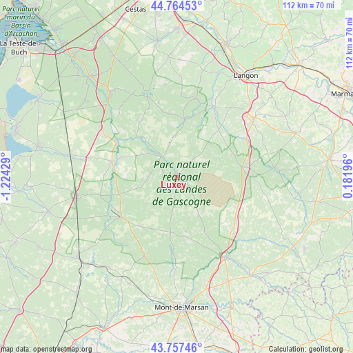
Luxey GPS coordinates[2]
44° 15' 47.34" North, 0° 31' 16.176" West
| Map corner | latitude | longitude |
|---|---|---|
| Upper-left | 44.76453°, | -1.22429° |
| Center: | 44.26315°, | -0.52116° |
| Lower-right: | 43.75746°, | 0.18196° |
| Map W x H: | 112×112 km | = 69.6×69.6mi |
| max Lat: | 51.07786° ⇑85.1% North |
| Luxey: | 44.26315° |
| min Lat: | ⇓14.9% South 41.3874° |
| min Long | Luxey | max Long |
| -5.08615° | -0.52116° | 9.52242° |
| W 16.3%⇐ | ⇒83.7% E |
Elevation
Elevation of Luxey is 90 m = 295 ft, and this is 103.7 m = 340 ft below average elevation for this country.
| Max E: |
2333 m = 7654 ft | 64.9% |
| Avg. | 193.7 m = 635 ft | |
| Luxey | 90 m = 295 ft | |
Min E: |
-1 m = -3 ft | 35.1% |
See also: France elevation on elevation.city.
Geographical zone
Luxey is located in North temperate zone (between Tropic of Cancer and the Arctic Circle). Distance of this Northern Tropic circle is 2315.7 km =1438.9 mi to South.| Distance of | km | miles | from Luxey |
|---|---|---|---|
| North Pole | 5085.5 | 3160 | to North |
| Arctic Circle | 2479.6 | 1540.8 | to North |
| Tropic Cancer | 2315.7 | 1438.9 | to South |
| Equator | 4921.6 | 3058.1 | to South |


Nearby cities:
15 places around Luxey: (largest is in red/bold)
• Brocas
24.4 km =15.2 mi,  182°
182°
• Captieux
20.9 km =13 mi,  81°
81°
• Cudos
27.7 km =17.2 mi,  60°
60°
• Hostens
27.3 km =17 mi,  339°
339°
• Labrit
17.7 km =11 mi,  186°
186°
• Louchats
28 km =17.4 mi,  352°
352°
• Moustey
21.8 km =13.5 mi,  299°
299°
• Noaillan
27.1 km =16.8 mi,  26°
26°
• Pissos
21.2 km =13.2 mi,  283°
283°
• Préchac
20.1 km =12.5 mi,  41°
41°
• Sabres
21.7 km =13.5 mi,  234°
234°
• Saint-Symphorien
18.6 km =11.6 mi,  7°
7°
• Saugnacq-et-Muret
25.9 km =16.1 mi,  306°
306°
• Sore
8.2 km =5.1 mi,  325°
325°
• Villandraut
24.7 km =15.3 mi, 28°
Sources, notices
• [Note1] Compared only with cities in France existing in our database
• [Src1] Map data: © OpenStreetMap contributors (CC-BY-SA)
• [Src2] Other city data from geonames.org with taken over terms of usage.
• [Src3] Geographical zone / Annual Mean Temperature by Robert A. Rohde @ Wikipedia
