Létra geodata
Létra (Auvergne-Rhône-Alpes) is a populated place; located in France in Europe/Paris (GMT+2) time zone. With population of 758 people, there are 11078 cities with bigger population in this country. Compared to other cities in France, 66.7% of cities are located further ↑North; 72.2% of cities are located further ←West and 85.5% of cities have lower elevation than Létra. Note1
Administrative division(s):
- Level 1: Auvergne-Rhône-Alpes
- Level 2: Département du Rhône
- Level 3: Arrondissement de Villefranche-sur-Saône
- Level 4: Létra


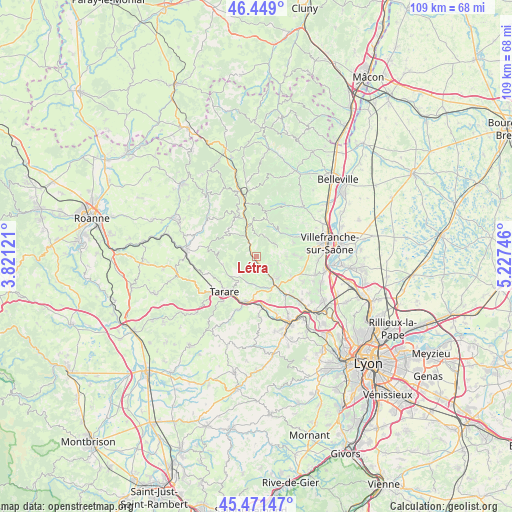
Létra GPS coordinates[2]
45° 57' 44.604" North, 4° 31' 27.624" East
| Map corner | latitude | longitude |
|---|---|---|
| Upper-left | 46.449°, | 3.82121° |
| Center: | 45.96239°, | 4.52434° |
| Lower-right: | 45.47147°, | 5.22746° |
| Map W x H: | 108.7×108.7 km | = 67.5×67.5mi |
| max Lat: | 51.07786° ⇑66.7% North |
| Létra: | 45.96239° |
| min Lat: | ⇓33.3% South 41.3874° |
| min Long | Létra | max Long |
| -5.08615° | 4.52434° | 9.52242° |
| W 72.2%⇐ | ⇒27.8% E |
Elevation
Elevation of Létra is 352 m = 1155 ft, and this is 158.3 m = 519 ft above average elevation for this country.
| Max E: |
2333 m = 7654 ft | 14.5% |
| Létra | 352 m 1155 ft | |
| Avg. | 193.7 m = 635 ft | |
Min E: |
-1 m = -3 ft | 85.5% |
See also: France elevation on elevation.city.
Geographical zone
Létra is located in North temperate zone (between Tropic of Cancer and the Arctic Circle). Distance of this North polar circle is 2290.6 km =1423.3 mi to North.| Distance of | km | miles | from Létra |
|---|---|---|---|
| North Pole | 4896.5 | 3042.5 | to North |
| Arctic Circle | 2290.6 | 1423.3 | to North |
| Tropic Cancer | 2504.6 | 1556.3 | to South |
| Equator | 5110.5 | 3175.5 | to South |


Nearby cities:
15 places around Létra: (largest is in red/bold)
• Bagnols
8.1 km =5 mi,  127°
127°
• Chambost-Allières
6.5 km =4 mi,  342°
342°
• Chamelet
2.6 km =1.6 mi,  334°
334°
• Jarnioux
8 km =5 mi,  88°
88°
• Le Bois-d'Oingt
6.7 km =4.2 mi,  138°
138°
• Oingt
4.8 km =3 mi,  108°
108°
• Rivolet
7.7 km =4.8 mi,  51°
51°
• Saint-Clément-sur-Valsonne
6.9 km =4.3 mi,  231°
231°
• Saint-Laurent-d’Oingt
3.6 km =2.2 mi,  123°
123°
• Saint-Loup
8 km =5 mi,  199°
199°
• Saint-Vérand
4.8 km =3 mi,  176°
176°
• Ternand
2 km =1.2 mi,  170°
170°
• Theizé
7.5 km =4.7 mi, 109°
• Valsonne
7.5 km =4.7 mi,  256°
256°
• Ville-sur-Jarnioux
6.5 km =4 mi, 90°
Sources, notices
• [Note1] Compared only with cities in France existing in our database
• [Src1] Map data: © OpenStreetMap contributors (CC-BY-SA)
• [Src2] Other city data from geonames.org with taken over terms of usage.
• [Src3] Geographical zone / Annual Mean Temperature by Robert A. Rohde @ Wikipedia
