Germigny geodata
Germigny (Bourgogne-Franche-Comté) is a populated place; located in France in Europe/Paris (GMT+2) time zone. With population of 599 people, there are 13333 cities with bigger population in this country. Compared to other cities in France, 59.1% of cities are located further ↓South; 66.2% of cities are located further ←West and 54.1% of cities have higher elevation than Germigny. Note1
Administrative division(s):
- Level 1: Bourgogne-Franche-Comté
- Level 2: Département de l'Yonne
- Level 3: Auxerre
- Level 4: Germigny


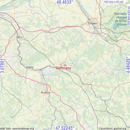
Germigny GPS coordinates[2]
47° 59' 42.432" North, 3° 46' 52.104" East
| Map corner | latitude | longitude |
|---|---|---|
| Upper-left | 48.4635°, | 3.07801° |
| Center: | 47.99512°, | 3.78114° |
| Lower-right: | 47.52245°, | 4.48426° |
| Map W x H: | 104.6×104.6 km | = 65×65mi |
| max Lat: | 51.07786° ⇑40.9% North |
| Germigny: | 47.99512° |
| min Lat: | ⇓59.1% South 41.3874° |
| min Long | Germigny | max Long |
| -5.08615° | 3.78114° | 9.52242° |
| W 66.2%⇐ | ⇒33.8% E |
Elevation
Elevation of Germigny is 119 m = 390 ft, and this is 74.7 m = 245 ft below average elevation for this country.
| Max E: |
2333 m = 7654 ft | 54.1% |
| Avg. | 193.7 m = 635 ft | |
| Germigny | 119 m = 390 ft | |
Min E: |
-1 m = -3 ft | 45.9% |
See also: France elevation on elevation.city.
Geographical zone
Germigny is located in North temperate zone (between Tropic of Cancer and the Arctic Circle). Distance of this North polar circle is 2064.6 km =1282.9 mi to North.| Distance of | km | miles | from Germigny |
|---|---|---|---|
| North Pole | 4670.5 | 2902.1 | to North |
| Arctic Circle | 2064.6 | 1282.9 | to North |
| Tropic Cancer | 2730.6 | 1696.7 | to South |
| Equator | 5336.6 | 3316 | to South |


Nearby cities:
15 places around Germigny: (largest is in red/bold)
• Brienon-sur-Armançon
12.3 km =7.6 mi,  267°
267°
• Chailley
11.4 km =7.1 mi,  328°
328°
• Champlost
8.9 km =5.5 mi,  291°
291°
• Chessy-les-Prés
10.5 km =6.5 mi,  72°
72°
• Ervy-le-Châtel
10.9 km =6.8 mi,  61°
61°
• Flogny-la-Chapelle
8.1 km =5 mi,  128°
128°
• Ligny-le-Châtel
10.7 km =6.6 mi,  189°
189°
• Maligny
14 km =8.7 mi, 185°
• Mont-Saint-Sulpice
12.4 km =7.7 mi,  248°
248°
• Neuvy-Sautour
5.3 km =3.3 mi,  10°
10°
• Pontigny
11.2 km =7 mi,  207°
207°
• Saint-Florentin
4.2 km =2.6 mi,  278°
278°
• Turny
5.1 km =3.2 mi, 329°
• Venizy
6.9 km =4.3 mi,  309°
309°
• Vergigny
5.4 km =3.4 mi,  239°
239°
Sources, notices
• [Note1] Compared only with cities in France existing in our database
• [Src1] Map data: © OpenStreetMap contributors (CC-BY-SA)
• [Src2] Other city data from geonames.org with taken over terms of usage.
• [Src3] Geographical zone / Annual Mean Temperature by Robert A. Rohde @ Wikipedia
