Fleurines geodata
Fleurines (Hauts-de-France) is a populated place; located in France in Europe/Paris (GMT+2) time zone. With population of 1,901 people, there are 5030 cities with bigger population in this country. Compared to other cities in France, 85.3% of cities are located further ↓South; 51.9% of cities are located further ←West and 56.9% of cities have higher elevation than Fleurines. Note1
Administrative division(s):
- Level 1: Hauts-de-France
- Level 2: Département de l'Oise
- Level 3: Arrondissement de Senlis
- Level 4: Fleurines


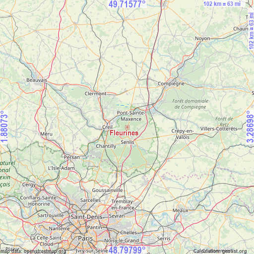
Fleurines GPS coordinates[2]
49° 15' 32.436" North, 2° 35' 1.86" East
| Map corner | latitude | longitude |
|---|---|---|
| Upper-left | 49.71577°, | 1.88073° |
| Center: | 49.25901°, | 2.58385° |
| Lower-right: | 48.79799°, | 3.28698° |
| Map W x H: | 102×102 km | = 63.4×63.4mi |
| max Lat: | 51.07786° ⇑14.7% North |
| Fleurines: | 49.25901° |
| min Lat: | ⇓85.3% South 41.3874° |
| min Long | Fleurines | max Long |
| -5.08615° | 2.58385° | 9.52242° |
| W 51.9%⇐ | ⇒48.1% E |
Elevation
Elevation of Fleurines is 111 m = 364 ft, and this is 82.7 m = 271 ft below average elevation for this country.
| Max E: |
2333 m = 7654 ft | 56.9% |
| Avg. | 193.7 m = 635 ft | |
| Fleurines | 111 m = 364 ft | |
Min E: |
-1 m = -3 ft | 43.1% |
See also: France elevation on elevation.city.
Geographical zone
Fleurines is located in North temperate zone (between Tropic of Cancer and the Arctic Circle). Distance of this North polar circle is 1924.1 km =1195.6 mi to North.| Distance of | km | miles | from Fleurines |
|---|---|---|---|
| North Pole | 4530 | 2814.8 | to North |
| Arctic Circle | 1924.1 | 1195.6 | to North |
| Tropic Cancer | 2871.2 | 1784.1 | to South |
| Equator | 5477.1 | 3403.3 | to South |


Nearby cities:
15 places around Fleurines: (largest is in red/bold)
• Apremont
6.7 km =4.2 mi,  234°
234°
• Aumont-en-Halatte
3.8 km =2.4 mi,  220°
220°
• Barbery
7.3 km =4.5 mi,  123°
123°
• Brenouille
5.9 km =3.7 mi,  331°
331°
• Chamant
4.8 km =3 mi,  155°
155°
• Creil
7.2 km =4.5 mi,  267°
267°
• Les Ageux
6.5 km =4 mi,  10°
10°
• Monceaux
7 km =4.3 mi,  340°
340°
• Pont-Sainte-Maxence
5 km =3.1 mi,  17°
17°
• Pontpoint
6.6 km =4.1 mi,  46°
46°
• Rieux
6.7 km =4.2 mi,  313°
313°
• Saint-Pierre
7 km =4.3 mi, 48°
• Senlis
5.8 km =3.6 mi,  178°
178°
• Verneuil-en-Halatte
4.9 km =3 mi,  297°
297°
• Villers-Saint-Frambourg
4.1 km =2.5 mi,  96°
96°
Sources, notices
• [Note1] Compared only with cities in France existing in our database
• [Src1] Map data: © OpenStreetMap contributors (CC-BY-SA)
• [Src2] Other city data from geonames.org with taken over terms of usage.
• [Src3] Geographical zone / Annual Mean Temperature by Robert A. Rohde @ Wikipedia
