Candas geodata
Candas (Hauts-de-France) is a populated place; located in France in Europe/Paris (GMT+2) time zone. With population of 899 people, there are 9669 cities with bigger population in this country. Compared to other cities in France, 94.3% of cities are located further ↓South; 53.4% of cities are located further →East and 55.6% of cities have lower elevation than Candas. Note1


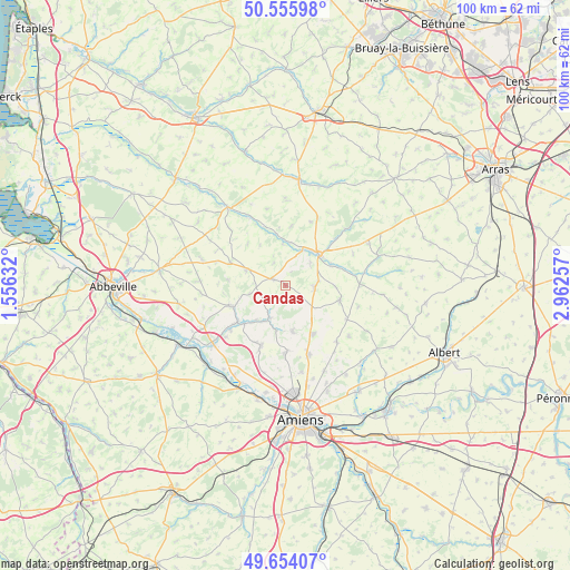
Candas GPS coordinates[2]
50° 6' 25.74" North, 2° 15' 33.984" East
| Map corner | latitude | longitude |
|---|---|---|
| Upper-left | 50.55598°, | 1.55632° |
| Center: | 50.10715°, | 2.25944° |
| Lower-right: | 49.65407°, | 2.96257° |
| Map W x H: | 100.3×100.3 km | = 62.3×62.3mi |
| max Lat: | 51.07786° ⇑5.7% North |
| Candas: | 50.10715° |
| min Lat: | ⇓94.3% South 41.3874° |
| min Long | Candas | max Long |
| -5.08615° | 2.25944° | 9.52242° |
| W 46.6%⇐ | ⇒53.4% E |
Elevation
Elevation of Candas is 152 m = 499 ft, and this is 41.7 m = 137 ft below average elevation for this country.
| Max E: |
2333 m = 7654 ft | 44.4% |
| Avg. | 193.7 m = 635 ft | |
| Candas | 152 m = 499 ft | |
Min E: |
-1 m = -3 ft | 55.6% |
See also: France elevation on elevation.city.
Geographical zone
Candas is located in North temperate zone (between Tropic of Cancer and the Arctic Circle). Distance of this North polar circle is 1829.8 km =1137 mi to North.| Distance of | km | miles | from Candas |
|---|---|---|---|
| North Pole | 4435.7 | 2756.2 | to North |
| Arctic Circle | 1829.8 | 1137 | to North |
| Tropic Cancer | 2965.5 | 1842.7 | to South |
| Equator | 5571.4 | 3461.9 | to South |


Nearby cities:
15 places around Candas: (largest is in red/bold)
• Beauquesne
9.8 km =6.1 mi,  104°
104°
• Beauval
5.2 km =3.2 mi,  89°
89°
• Bernaville
7.4 km =4.6 mi,  292°
292°
• Berteaucourt-les-Dames
9.9 km =6.2 mi,  227°
227°
• Canaples
6.4 km =4 mi,  207°
207°
• Domart-en-Ponthieu
10.2 km =6.3 mi,  249°
249°
• Doullens
8 km =5 mi,  45°
45°
• Fienvillers
2.5 km =1.6 mi,  300°
300°
• Flesselles
11.7 km =7.3 mi,  179°
179°
• Naours
7.9 km =4.9 mi,  170°
170°
• Pernois
7.9 km =4.9 mi,  220°
220°
• Saint-Léger-lès-Domart
10.5 km =6.5 mi, 234°
• Saint-Ouen
12.5 km =7.8 mi, 232°
• Talmas
9.7 km =6 mi,  151°
151°
• Vignacourt
11.4 km =7.1 mi,  202°
202°
Sources, notices
• [Note1] Compared only with cities in France existing in our database
• [Src1] Map data: © OpenStreetMap contributors (CC-BY-SA)
• [Src2] Other city data from geonames.org with taken over terms of usage.
• [Src3] Geographical zone / Annual Mean Temperature by Robert A. Rohde @ Wikipedia
