Makrísia geodata
Makrísia (West Greece) is a populated place; located in Greece in Europe/Athens (GMT+3) time zone. With population of 1,902 people, there are 549 cities with bigger population in this country. Compared to other cities in Greece, 84.6% of cities are located further ↑North; 81.1% of cities are located further →East and 53.1% of cities have lower elevation than Makrísia. Note1
Administrative division(s):
- Level 1: West Greece
- Level 2: Nomós Ileías
- Level 3: Dimos Andritsaina-Krestena


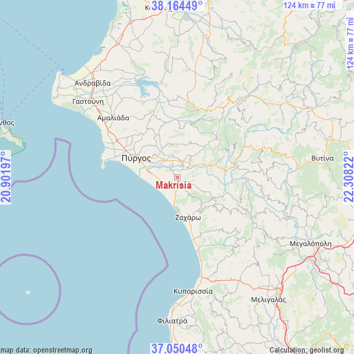
Makrísia GPS coordinates[2]
37° 36' 34.452" North, 21° 36' 18.324" East
| Map corner | latitude | longitude |
|---|---|---|
| Upper-left | 38.16449°, | 20.90197° |
| Center: | 37.60957°, | 21.60509° |
| Lower-right: | 37.05048°, | 22.30822° |
| Map W x H: | 123.9×123.9 km | = 77×77mi |
| max Lat: | 41.72048° ⇑84.6% North |
| Makrísia: | 37.60957° |
| min Lat: | ⇓15.4% South 34.8346° |
| min Long | Makrísia | max Long |
| 19.40494° | 21.60509° | 29.59361° |
| W 18.9%⇐ | ⇒81.1% E |
Elevation
Elevation of Makrísia is 93 m = 305 ft, and this is 75.9 m = 249 ft below average elevation for this country.
| Max E: |
1439 m = 4721 ft | 46.9% |
| Avg. | 168.9 m = 554 ft | |
| Makrísia | 93 m = 305 ft | |
Min E: |
0 m = 0 ft | 53.1% |
See also: Greece elevation on elevation.city.
Geographical zone
Makrísia is located in North temperate zone (between Tropic of Cancer and the Arctic Circle). Distance of this Northern Tropic circle is 1575.9 km =979.2 mi to South.| Distance of | km | miles | from Makrísia |
|---|---|---|---|
| North Pole | 5825.3 | 3619.7 | to North |
| Arctic Circle | 3219.4 | 2000.4 | to North |
| Tropic Cancer | 1575.9 | 979.2 | to South |
| Equator | 4181.8 | 2598.4 | to South |


Nearby cities:
15 places around Makrísia: (largest is in red/bold)
• Alfeioúsa
6.9 km =4.3 mi,  299°
299°
• Archaía Olympía
4.7 km =2.9 mi,  24°
24°
• Epitálio
9.9 km =6.2 mi,  281°
281°
• Goúmero
17 km =10.6 mi,  3°
3°
• Kallithéa
20 km =12.4 mi,  108°
108°
• Karátoula
15.3 km =9.5 mi,  336°
336°
• Kréstena
2.4 km =1.5 mi,  145°
145°
• Lálas
15.1 km =9.4 mi,  42°
42°
• Myrtiá
25.3 km =15.7 mi, 297°
• Pelópi
7.3 km =4.5 mi,  351°
351°
• Plátanos
6.4 km =4 mi, 4°
• Pýrgos
16.2 km =10.1 mi, 296°
• Varvásaina
11.6 km =7.2 mi,  306°
306°
• Vrína
5.4 km =3.4 mi, 147°
• Zacháro
14.6 km =9.1 mi,  164°
164°
Sources, notices
• [Note1] Compared only with cities in Greece existing in our database
• [Src1] Map data: © OpenStreetMap contributors (CC-BY-SA)
• [Src2] Other city data from geonames.org with taken over terms of usage.
• [Src3] Geographical zone / Annual Mean Temperature by Robert A. Rohde @ Wikipedia
