Zacualpa geodata
Zacualpa (Quiché) is a seat of a second-order administrative division; located in Guatemala in America/Guatemala (GMT-6) time zone. With population of 9,241 people, there are 137 cities with bigger population in this country. Compared to other cities in Guatemala, 67.6% of cities are located further ↓South; 52.2% of cities are located further ←West and 58.4% of cities have lower elevation than Zacualpa. Note1


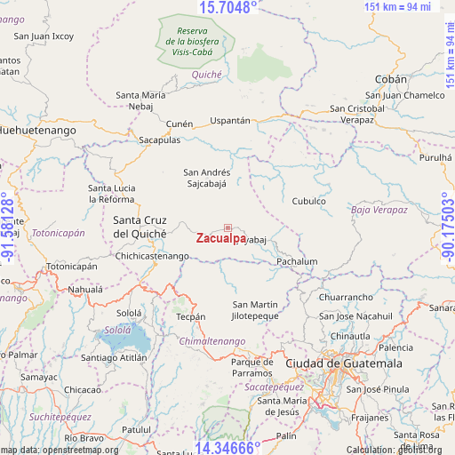
Zacualpa GPS coordinates[2]
15° 1' 36.516" North, 90° 52' 41.34" West
| Map corner | latitude | longitude |
|---|---|---|
| Upper-left | 15.7048°, | -91.58128° |
| Center: | 15.02681°, | -90.87815° |
| Lower-right: | 14.34666°, | -90.17503° |
| Map W x H: | 151×151 km | = 93.8×93.8mi |
| max Lat: | 17.06606° ⇑32.4% North |
| Zacualpa: | 15.02681° |
| min Lat: | ⇓67.6% South 13.9274° |
| min Long | Zacualpa | max Long |
| -92.19298° | -90.87815° | -88.59444° |
| W 52.2%⇐ | ⇒47.8% E |
Elevation
Elevation of Zacualpa is 1497 m = 4911 ft, and this is 230 m = 755 ft above average elevation for this country.
| Max E: |
3254 m = 10676 ft | 41.6% |
| Zacualpa | 1497 m 4911 ft | |
| Avg. | 1267 m = 4157 ft | |
Min E: |
1 m = 3 ft | 58.4% |
See also: Guatemala elevation on elevation.city.
Geographical zone
Zacualpa is located in North Torrid zone (between Equator and Tropic of Cancer). Distance of this Northern Tropic circle is 935.1 km =581 mi to North.| Distance of | km | miles | from Zacualpa |
|---|---|---|---|
| North Pole | 8336.2 | 5179.9 | to North |
| Arctic Circle | 5730.3 | 3560.6 | to North |
| Tropic Cancer | 935.1 | 581 | to North |
| Equator | 1670.8 | 1038.2 | to South |


Nearby cities:
15 places around Zacualpa: (largest is in red/bold)
• Canillá
15.7 km =9.8 mi,  10°
10°
• Chichicastenango
26.7 km =16.6 mi,  249°
249°
• Chiché
20 km =12.4 mi,  264°
264°
• Chinique
16 km =9.9 mi,  275°
275°
• Comalapa
31.8 km =19.8 mi,  181°
181°
• Cubulco
28.1 km =17.5 mi,  72°
72°
• Joyabaj
9 km =5.6 mi,  114°
114°
• Pachalum
25.8 km =16 mi,  116°
116°
• San Andrés Sajcabajá
18 km =11.2 mi,  337°
337°
• San Bartolomé Jocotenango
28.2 km =17.5 mi,  310°
310°
• San José Poaquil
23.5 km =14.6 mi,  189°
189°
• San Martín Jilotepeque
28.9 km =18 mi,  161°
161°
• San Pédro Jocopilas
30.3 km =18.8 mi, 284°
• Santa Apolonia
28.2 km =17.5 mi,  201°
201°
• Santa Cruz del Quiché
29.1 km =18.1 mi,  270°
270°
Sources, notices
• [Note1] Compared only with cities in Guatemala existing in our database
• [Src1] Map data: © OpenStreetMap contributors (CC-BY-SA)
• [Src2] Other city data from geonames.org with taken over terms of usage.
• [Src3] Geographical zone / Annual Mean Temperature by Robert A. Rohde @ Wikipedia
