San José del Potrero geodata
San José del Potrero (Comayagua) is a populated place; located in Honduras in America/Tegucigalpa (GMT-6) time zone. With population of 1,091 people, there are 368 cities with bigger population in this country. Compared to other cities in Honduras, 53% of cities are located further ↑North; 62.2% of cities are located further ←West and 58.2% of cities have lower elevation than San José del Potrero. Note1


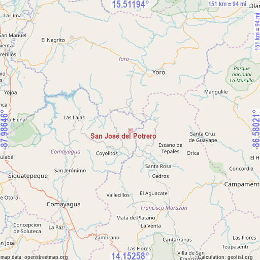
San José del Potrero GPS coordinates[2]
14° 49' 59.988" North, 87° 16' 59.988" West
| Map corner | latitude | longitude |
|---|---|---|
| Upper-left | 15.51194°, | -87.98646° |
| Center: | 14.83333°, | -87.28333° |
| Lower-right: | 14.15258°, | -86.58021° |
| Map W x H: | 151.1×151.1 km | = 93.9×93.9mi |
| max Lat: | 16.45° ⇑53% North |
| San José del Potrero: | 14.83333° |
| min Lat: | ⇓47% South 13.11667° |
| min Long | San José del P | max Long |
| -89.23333° | -87.28333° | -83.23333° |
| W 62.2%⇐ | ⇒37.8% E |
Elevation
Elevation of San José del Potrero is 659 m = 2162 ft, and this is 97.8 m = 321 ft above average elevation for this country.
| Max E: |
1811 m = 5942 ft | 41.8% |
| San José del Potrero | 659 m 2162 ft | |
| Avg. | 561.2 m = 1841 ft | |
Min E: |
1 m = 3 ft | 58.2% |
See also: Honduras elevation on elevation.city.
Geographical zone
San José del Potrero is located in North Torrid zone (between Equator and Tropic of Cancer). Distance of this Northern Tropic circle is 956.6 km =594.4 mi to North.| Distance of | km | miles | from San José del Potrero |
|---|---|---|---|
| North Pole | 8357.8 | 5193.3 | to North |
| Arctic Circle | 5751.9 | 3574.1 | to North |
| Tropic Cancer | 956.6 | 594.4 | to North |
| Equator | 1649.3 | 1024.8 | to South |


Nearby cities:
15 places around San José del Potrero: (largest is in red/bold)
• El Escanito
27.1 km =16.8 mi,  133°
133°
• El Escaño de Tepale
25.1 km =15.6 mi,  111°
111°
• El Guantillo
26 km =16.2 mi,  183°
183°
• El Pedernal
23.3 km =14.5 mi, 129°
• El Rancho
28.7 km =17.8 mi,  234°
234°
• Esquías
14.3 km =8.9 mi,  218°
218°
• Las Vegas
27.1 km =16.8 mi,  318°
318°
• Marale
15.4 km =9.6 mi,  68°
68°
• Mata de Plátano
25.9 km =16.1 mi, 180°
• Minas de Oro
8.1 km =5 mi,  242°
242°
• San Luis
17.1 km =10.6 mi, 237°
• San Nicolás
14.8 km =9.2 mi,  208°
208°
• Sulaco
9.4 km =5.8 mi,  10°
10°
• Urrutia
28.4 km =17.6 mi, 109°
• Yorito
25.9 km =16.1 mi,  0°
0°
Sources, notices
• [Note1] Compared only with cities in Honduras existing in our database
• [Src1] Map data: © OpenStreetMap contributors (CC-BY-SA)
• [Src2] Other city data from geonames.org with taken over terms of usage.
• [Src3] Geographical zone / Annual Mean Temperature by Robert A. Rohde @ Wikipedia
