Popovača geodata
Popovača (Ličko-Senjska) is a populated locality; located in Croatia in Europe/Zagreb (GMT+2) time zone. With population of 4,333 people, there are 93 cities with bigger population in this country. Compared to other cities in Croatia, 78.7% of cities are located further ↑North; 87.6% of cities are located further →East and 98.6% of cities have lower elevation than Popovača. Note1


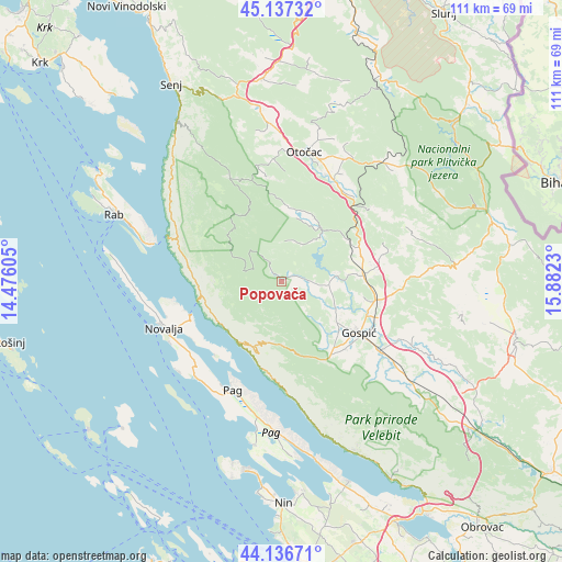
Popovača GPS coordinates[2]
44° 38' 21.012" North, 15° 10' 45.012" East
| Map corner | latitude | longitude |
|---|---|---|
| Upper-left | 45.13732°, | 14.47605° |
| Center: | 44.63917°, | 15.17917° |
| Lower-right: | 44.13671°, | 15.8823° |
| Map W x H: | 111.3×111.3 km | = 69.2×69.2mi |
| max Lat: | 46.52694° ⇑78.7% North |
| Popovača: | 44.63917° |
| min Lat: | ⇓21.3% South 42.54972° |
| min Long | Popovača | max Long |
| 13.52389° | 15.17917° | 19.37694° |
| W 12.4%⇐ | ⇒87.6% E |
Elevation
Elevation of Popovača is 601 m = 1972 ft, and this is 447.7 m = 1469 ft above average elevation for this country.
| Max E: |
827 m = 2713 ft | 1.4% |
| Popovača | 601 m 1972 ft | |
| Avg. | 153.3 m = 503 ft | |
Min E: |
-1 m = -3 ft | 98.6% |
See also: Croatia elevation on elevation.city.
Geographical zone
Popovača is located in North temperate zone (between Tropic of Cancer and the Arctic Circle). Distance of this Northern Tropic circle is 2357.5 km =1464.9 mi to South.| Distance of | km | miles | from Popovača |
|---|---|---|---|
| North Pole | 5043.7 | 3134 | to North |
| Arctic Circle | 2437.8 | 1514.8 | to North |
| Tropic Cancer | 2357.5 | 1464.9 | to South |
| Equator | 4963.4 | 3084.1 | to South |


Nearby cities:
15 places around Popovača: (largest is in red/bold)
• Gornji Prozor
23.8 km =14.8 mi,  17°
17°
• Gospić
18.6 km =11.6 mi,  123°
123°
• Karlobag
15 km =9.3 mi,  213°
213°
• Kolan
23.6 km =14.7 mi,  226°
226°
• Kuterevo
20.9 km =13 mi,  351°
351°
• Lički Osik
19.8 km =12.3 mi,  101°
101°
• Ličko Lešće
21.7 km =13.5 mi,  31°
31°
• Novalja
24.9 km =15.5 mi,  248°
248°
• Otočac
26 km =16.2 mi,  10°
10°
• Pag
23.6 km =14.7 mi,  204°
204°
• Perušić
16.2 km =10.1 mi,  85°
85°
• Sinac
24.4 km =15.2 mi, 29°
• Stari Grad
25 km =15.5 mi, 201°
• Vrhovine
30.3 km =18.8 mi,  38°
38°
• Čovići
23.1 km =14.4 mi, 24°
Sources, notices
• [Note1] Compared only with cities in Croatia existing in our database
• [Src1] Map data: © OpenStreetMap contributors (CC-BY-SA)
• [Src2] Other city data from geonames.org with taken over terms of usage.
• [Src3] Geographical zone / Annual Mean Temperature by Robert A. Rohde @ Wikipedia
