Karancslapujtő geodata
Karancslapujtő (Nógrád) is a populated place; located in Hungary in Europe/Budapest (GMT+2) time zone. With population of 2,845 people, there are 529 cities with bigger population in this country. Compared to other cities in Hungary, 93.6% of cities are located further ↓South; 55.6% of cities are located further ←West and 92.1% of cities have lower elevation than Karancslapujtő. Note1


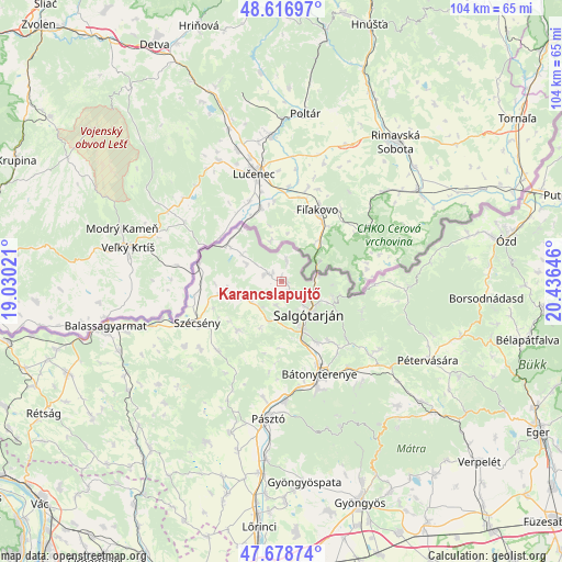
Karancslapujtő GPS coordinates[2]
48° 9' 0" North, 19° 43' 59.988" East
| Map corner | latitude | longitude |
|---|---|---|
| Upper-left | 48.61697°, | 19.03021° |
| Center: | 48.15°, | 19.73333° |
| Lower-right: | 47.67874°, | 20.43646° |
| Map W x H: | 104.3×104.3 km | = 64.8×64.8mi |
| max Lat: | 48.46667° ⇑6.4% North |
| Karancslapujtő: | 48.15° |
| min Lat: | ⇓93.6% South 45.79108° |
| min Long | Karancslapujtő | max Long |
| 16.27358° | 19.73333° | 22.68096° |
| W 55.6%⇐ | ⇒44.4% E |
Elevation
Elevation of Karancslapujtő is 199 m = 653 ft, and this is 69.3 m = 227 ft above average elevation for this country.
| Max E: |
444 m = 1457 ft | 7.9% |
| Karancslapujtő | 199 m 653 ft | |
| Avg. | 129.7 m = 426 ft | |
Min E: |
71 m = 233 ft | 92.1% |
See also: Hungary elevation on elevation.city.
Geographical zone
Karancslapujtő is located in North temperate zone (between Tropic of Cancer and the Arctic Circle). Distance of this North polar circle is 2047.4 km =1272.2 mi to North.| Distance of | km | miles | from Karancslapujtő |
|---|---|---|---|
| North Pole | 4653.3 | 2891.4 | to North |
| Arctic Circle | 2047.4 | 1272.2 | to North |
| Tropic Cancer | 2747.9 | 1707.5 | to South |
| Equator | 5353.8 | 3326.7 | to South |


Nearby cities:
15 places around Karancslapujtő: (largest is in red/bold)
• Bátonyterenye
21.6 km =13.4 mi,  158°
158°
• Karancskeszi
3.1 km =1.9 mi,  299°
299°
• Kazár
14.7 km =9.1 mi,  139°
139°
• Mátranovák
22.3 km =13.9 mi,  123°
123°
• Mátraterenye
20.6 km =12.8 mi,  129°
129°
• Mátraverebély
19.9 km =12.4 mi,  169°
169°
• Parádsasvár
32 km =19.9 mi,  145°
145°
• Pásztó
25.7 km =16 mi,  185°
185°
• Pétervására
31 km =19.3 mi, 118°
• Rimóc
19.6 km =12.2 mi,  230°
230°
• Salgótarján
7.7 km =4.8 mi, 137°
• Somoskőújfalu
6.8 km =4.2 mi,  77°
77°
• Szurdokpüspöki
32.5 km =20.2 mi, 185°
• Szécsény
17.6 km =10.9 mi,  243°
243°
• Tar
21.8 km =13.5 mi,  177°
177°
Sources, notices
• [Note1] Compared only with cities in Hungary existing in our database
• [Src1] Map data: © OpenStreetMap contributors (CC-BY-SA)
• [Src2] Other city data from geonames.org with taken over terms of usage.
• [Src3] Geographical zone / Annual Mean Temperature by Robert A. Rohde @ Wikipedia
