Talang Ubi geodata
Talang Ubi (South Sumatra) is a seat of a second-order administrative division; located in Indonesia in Asia/Jakarta (GMT+7) time zone. In our database, there are 407 cities with bigger population. Compared to other cities in Indonesia, 90.8% of cities are located further ↓South; 95.2% of cities are located further →East and 71.2% of cities have higher elevation than Talang Ubi. Note1


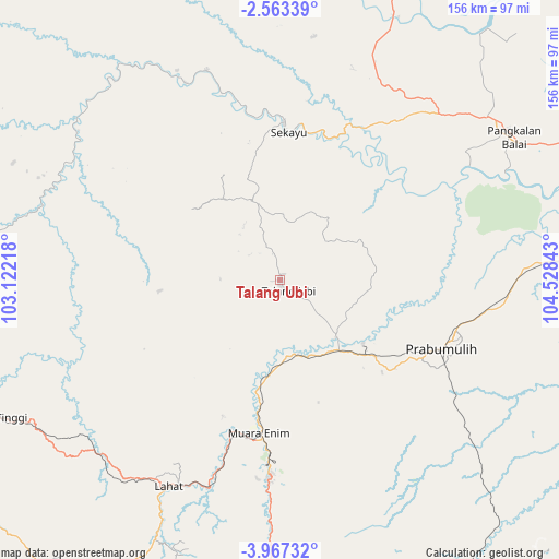
Talang Ubi GPS coordinates[2]
3° 15' 56.16" South, 103° 49' 31.08" East
| Map corner | latitude | longitude |
|---|---|---|
| Upper-left | -2.56339°, | 103.12218° |
| Center: | -3.2656°, | 103.8253° |
| Lower-right: | -3.96732°, | 104.52843° |
| Map W x H: | 156.1×156.1 km | = 97×97mi |
| max Lat: | 5.88969° ⇑9.2% North |
| Talang Ubi: | -3.2656° |
| min Lat: | ⇓90.8% South -10.934° |
| min Long | Talang Ubi | max Long |
| 95.1345° | 103.8253° | 140.9419° |
| W 4.8%⇐ | ⇒95.2% E |
Elevation
Elevation of Talang Ubi is 30 m = 98 ft, and this is 199.7 m = 655 ft below average elevation for this country.
| Max E: |
3185 m = 10449 ft | 71.2% |
| Avg. | 229.7 m = 754 ft | |
| Talang Ubi | 30 m = 98 ft | |
Min E: |
-1 m = -3 ft | 28.8% |
See also: Indonesia elevation on elevation.city.
Geographical zone
Talang Ubi is located in South Torrid zone (between Equator and Tropic of Capricorn). Distance of Equator is 363.1 km =225.6 mi to North.| Distance of | km | miles | from Talang Ubi |
|---|---|---|---|
| Equator | 363.1 | 225.6 | to North |
| Tropic Capricorn | 2242.8 | 1393.6 | to South |
| Antarctic Circle | 7038.1 | 4373.3 | to South |
| South Pole | 9644 | 5992.5 | to South |


Nearby cities:
15 places around Talang Ubi: (largest is in red/bold)
• Babat
62.2 km =38.6 mi,  340°
340°
• Bunga Mas
70.1 km =43.6 mi,  226°
226°
• Glumbang
68 km =42.3 mi,  87°
87°
• Gunungmegang Dalam
21.1 km =13.1 mi,  166°
166°
• Gunungmenang
25 km =15.5 mi,  67°
67°
• Lahat
65.7 km =40.8 mi,  208°
208°
• Muara Enim
43 km =26.7 mi,  188°
188°
• Muaralakitan
73.4 km =45.6 mi,  307°
307°
• Negeriagung
59 km =36.7 mi,  199°
199°
• Pangkalan Balai
76.3 km =47.4 mi,  55°
55°
• Prabumulih
48.7 km =30.3 mi,  112°
112°
• Sekayu
42.7 km =26.5 mi,  1°
1°
• Suban Jeriji
55.6 km =34.5 mi,  163°
163°
• Sungairotan
53.4 km =33.2 mi, 70°
• Tanjungagung
74.7 km =46.4 mi,  181°
181°
Sources, notices
• [Note1] Compared only with cities in Indonesia existing in our database
• [Src1] Map data: © OpenStreetMap contributors (CC-BY-SA)
• [Src2] Other city data from geonames.org with taken over terms of usage.
• [Src3] Geographical zone / Annual Mean Temperature by Robert A. Rohde @ Wikipedia
