Babat geodata
Babat (South Sumatra) is a seat of a third-order administrative division; located in Indonesia in Asia/Jakarta (GMT+7) time zone. In our database, there are 407 cities with bigger population. Compared to other cities in Indonesia, 91.8% of cities are located further ↓South; 95.3% of cities are located further →East and 80.9% of cities have higher elevation than Babat. Note1


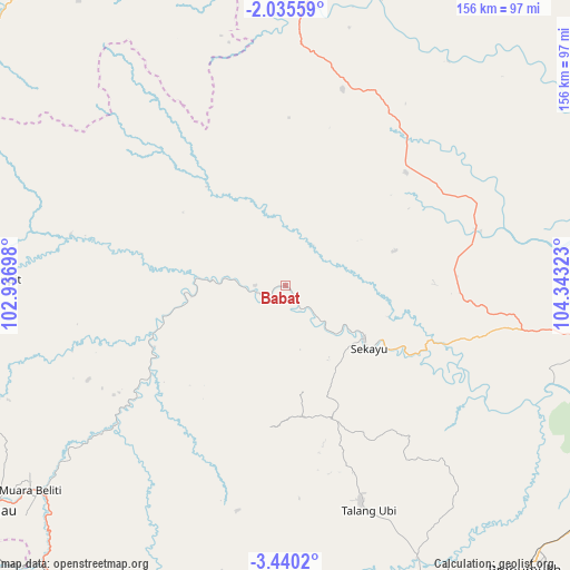
Babat GPS coordinates[2]
2° 44' 17.16" South, 103° 38' 24.36" East
| Map corner | latitude | longitude |
|---|---|---|
| Upper-left | -2.03559°, | 102.93698° |
| Center: | -2.7381°, | 103.6401° |
| Lower-right: | -3.4402°, | 104.34323° |
| Map W x H: | 156.2×156.2 km | = 97.1×97.1mi |
| max Lat: | 5.88969° ⇑8.2% North |
| Babat: | -2.7381° |
| min Lat: | ⇓91.8% South -10.934° |
| min Long | Babat | max Long |
| 95.1345° | 103.6401° | 140.9419° |
| W 4.7%⇐ | ⇒95.3% E |
Elevation
Elevation of Babat is 18 m = 59 ft, and this is 211.7 m = 695 ft below average elevation for this country.
| Max E: |
3185 m = 10449 ft | 80.9% |
| Avg. | 229.7 m = 754 ft | |
| Babat | 18 m = 59 ft | |
Min E: |
-1 m = -3 ft | 19.1% |
See also: Indonesia elevation on elevation.city.
Geographical zone
Babat is located in South Torrid zone (between Equator and Tropic of Capricorn). Distance of Equator is 304.4 km =189.1 mi to North.| Distance of | km | miles | from Babat |
|---|---|---|---|
| Equator | 304.4 | 189.1 | to North |
| Tropic Capricorn | 2301.5 | 1430.1 | to South |
| Antarctic Circle | 7096.7 | 4409.7 | to South |
| South Pole | 9702.6 | 6028.9 | to South |


Nearby cities:
15 places around Babat: (largest is in red/bold)
• Bayunglincir
76.1 km =47.3 mi,  3°
3°
• Bingintelok
59.5 km =37 mi,  282°
282°
• Gunungmegang Dalam
83.1 km =51.6 mi,  162°
162°
• Gunungmenang
65.7 km =40.8 mi,  138°
138°
• Muara Beliti
88.1 km =54.7 mi,  229°
229°
• Muara Enim
102.3 km =63.6 mi,  171°
171°
• Muaralakitan
39.7 km =24.7 mi,  250°
250°
• Muararupit
81 km =50.3 mi,  271°
271°
• Pangkalan Balai
85.3 km =53 mi,  100°
100°
• Prabumulih
101.5 km =63.1 mi, 139°
• Sekayu
26.9 km =16.7 mi,  126°
126°
• Sungairotan
81.6 km =50.7 mi,  119°
119°
• Surulangun Rawas
98.2 km =61 mi, 277°
• Talang Ubi
62.2 km =38.6 mi, 160°
• Terawas
98.1 km =61 mi, 249°
Sources, notices
• [Note1] Compared only with cities in Indonesia existing in our database
• [Src1] Map data: © OpenStreetMap contributors (CC-BY-SA)
• [Src2] Other city data from geonames.org with taken over terms of usage.
• [Src3] Geographical zone / Annual Mean Temperature by Robert A. Rohde @ Wikipedia
