Petakbehandang geodata
Petakbehandang (Central Kalimantan) is a seat of a third-order administrative division; located in Indonesia in Asia/Pontianak (GMT+7) time zone. In our database, there are 407 cities with bigger population. Compared to other cities in Indonesia, 92.8% of cities are located further ↓South; 61.6% of cities are located further ←West and 70.7% of cities have higher elevation than Petakbehandang. Note1


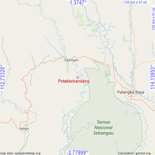
Petakbehandang GPS coordinates[2]
2° 4' 39" South, 113° 26' 11.04" East
| Map corner | latitude | longitude |
|---|---|---|
| Upper-left | -1.3747°, | 112.73328° |
| Center: | -2.0775°, | 113.4364° |
| Lower-right: | -2.77999°, | 114.13953° |
| Map W x H: | 156.3×156.3 km | = 97.1×97.1mi |
| max Lat: | 5.88969° ⇑7.2% North |
| Petakbehandang: | -2.0775° |
| min Lat: | ⇓92.8% South -10.934° |
| min Long | Petakbehandang | max Long |
| 95.1345° | 113.4364° | 140.9419° |
| W 61.6%⇐ | ⇒38.4% E |
Elevation
Elevation of Petakbehandang is 31 m = 102 ft, and this is 198.7 m = 652 ft below average elevation for this country.
| Max E: |
3185 m = 10449 ft | 70.7% |
| Avg. | 229.7 m = 754 ft | |
| Petakbehandang | 31 m = 102 ft | |
Min E: |
-1 m = -3 ft | 29.3% |
See also: Indonesia elevation on elevation.city.
Geographical zone
Petakbehandang is located in South Torrid zone (between Equator and Tropic of Capricorn). Distance of Equator is 231 km =143.5 mi to North.| Distance of | km | miles | from Petakbehandang |
|---|---|---|---|
| Equator | 231 | 143.5 | to North |
| Tropic Capricorn | 2374.9 | 1475.7 | to South |
| Antarctic Circle | 7170.2 | 4455.4 | to South |
| South Pole | 9776.1 | 6074.6 | to South |


Nearby cities:
15 places around Petakbehandang: (largest is in red/bold)
• Anjirserapat
150.1 km =93.3 mi,  135°
135°
• Barimba
147.4 km =91.6 mi,  130°
130°
• Basarang
137.5 km =85.4 mi, 135°
• Kotabesi
58.2 km =36.2 mi,  235°
235°
• Kualakapuas
148 km =92 mi, 134°
• Matangai
118.2 km =73.4 mi,  118°
118°
• Pagatan
122.6 km =76.2 mi,  187°
187°
• Palangkaraya
55.3 km =34.4 mi,  105°
105°
• Pulang Pisau
117.7 km =73.1 mi, 130°
• Rantaupulut
138.1 km =85.8 mi,  273°
273°
• Sampit
74 km =46 mi,  226°
226°
• Semilat
138.4 km =86 mi,  259°
259°
• Semuda
101.2 km =62.9 mi,  210°
210°
• Sungaitatas
144.1 km =89.5 mi, 125°
• Tongkiling
49.2 km =30.6 mi,  97°
97°
Sources, notices
• [Note1] Compared only with cities in Indonesia existing in our database
• [Src1] Map data: © OpenStreetMap contributors (CC-BY-SA)
• [Src2] Other city data from geonames.org with taken over terms of usage.
• [Src3] Geographical zone / Annual Mean Temperature by Robert A. Rohde @ Wikipedia
